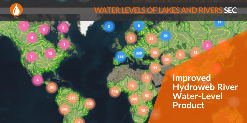
Improved Hydroweb River Water-Level Product
A new version of the Hydroweb River Water Level products will be operationally produced on April 8th, 2020. This version consists in improvements of the file content and metadata.
Users are advised that the river product filenames as well as content will evolve :
The filename will adopt the following format :
R_BASINNAME_RIVERNAME_KMxxxx
where xxxx stands for the number of km to the basin mouth.
Metadata have been significantly enriched.
The data content is also improved :
#COL 1 : DATE(YYYY-MM-DD)
#COL 2 : TIME(HH:MM)
#COL 3 : ORTHOMETRIC HEIGHT (M) OF WATER SURFACE AT REFERENCE POSITION
#COL 4 : ASSOCIATED UNCERTAINTY(M)
Further columns contain specific information about altimetry input data, expert users can be interested in.