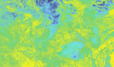
Map of the Soil Available Water Capacity in Metropolitan France
A Water Capacity calculated from a pedo-transfer function applied to soil characteristics estimated by digital mapping techniques.
A Water Capacity calculated from a pedo-transfer function applied to soil characteristics estimated by digital mapping techniques.
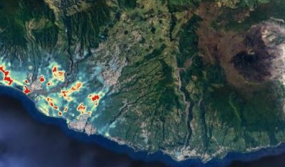
Mapping of the distribution of Xenopsylla flea vectors of murine typhus, Reunion Island.
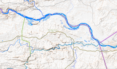
Geographic layers of monthly water surface changes for Hwangue, Gonarezhou and North Kruger National Parks in Zimbabwe, for modelling animal movements and predicting potential pathogen transmission.
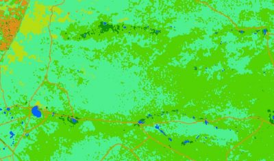
Spatialized landcover raster layers, derived from a time series of Sentinel-2 satellite images (from the year 2018), for Hwange, Gonarezhou and North Kruger National Parks in Zimbabwe.
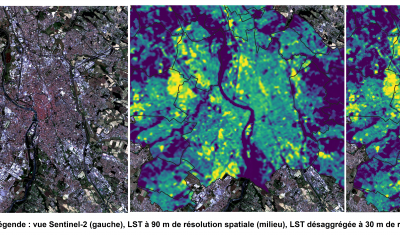
Access Description Theia SCO THERMOCITY project consists of studying urban heat islands and heat loss from urban thermographs based on satellite images [1]. The first stage of the project consisted […]
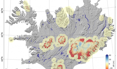
Mapping ice thicknesses based on glacial flow velocities for more than 200,000 glaciers on Earth.
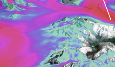
Data Access Presentation The product “Glacier Surface Flow Velocity” for the period 2017-2018 comes from the study of Millan et al. (2022). This is the first comprehensive mapping of the […]
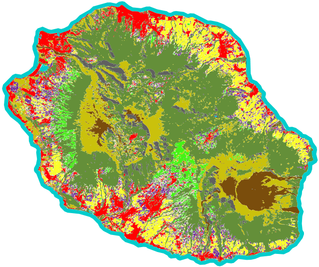
An automated soil mapping system for Reunion Island, based on the Moringa chain, using Spot6/7 or Pleiades images.
The product #Glacier Elevation Change is now available on Theia. It offers a mapping of the rate of elevation changes for all glaciers on the globe between 2000 and 2019.