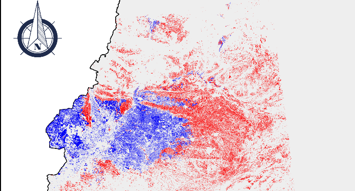
Land Units at National Scale
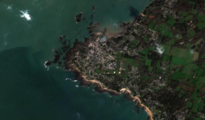
Delimiting Landscape Units based on Earth Observation data in order to contribute to landscape-based land management.
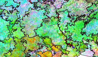
Delimiting Landscape Units based on Earth Observation data in order to contribute to landscape-based land management.
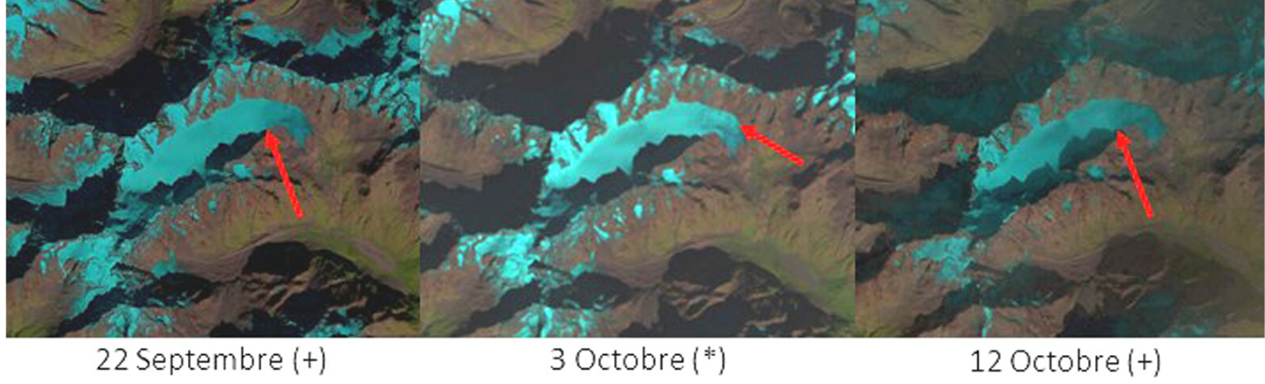
Documenting the surface mass balance of European Alps Glaciers.
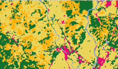
Land cover maps focusing on the relationship between health and the environment, intended to contribute to the dissemination of information on epidemiological risks related to infectious diseases to public health actors.
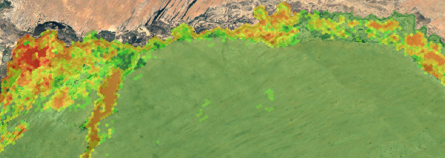
Access Presentation Theia Risks associated with infectious diseases SEC has established a spatial modeling of mosquito vectors for Rift Valley fever virus in Northern Senegal. The mapping tool proposes geographical […]
An irrigation map over a part of Catalonia region of Spain for the year 2018.
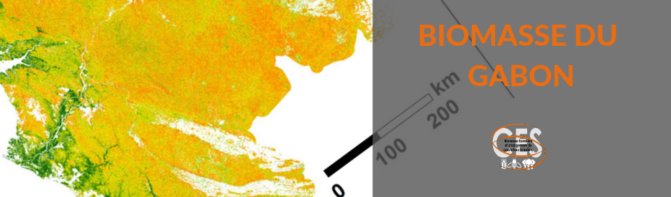
A Gabon biomass map with a 50x50m resolution.
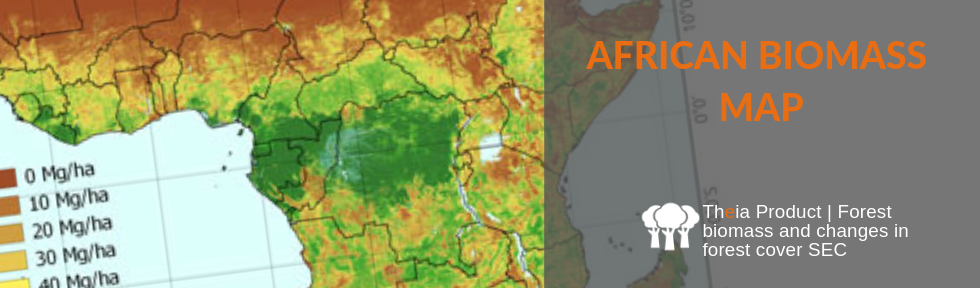
Above-ground biomass map of of the savannahs and woodlands of continental Africa and Madagascar at a resolution of 50m x 50m.
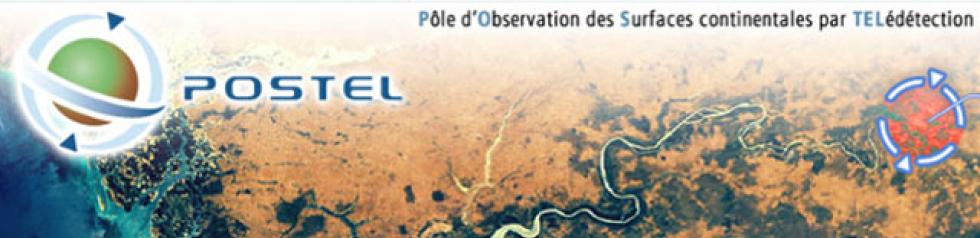
POSTEL was a demonstrator of thematic Land Data Centre from 2001 to 2008. The idea was to associate R&D and services to describe the soil and vegetation from Earth Observation […]
Theia disseminates VENµS data processed in TOC and surface reflectance at over 110 scientific sites with a resolution of 5 m.