Landsat Surface Reflectance
Data at 30-meter resolution for 30 years, on all land surfaces with a repeatability of 16 days.
Data at 30-meter resolution for 30 years, on all land surfaces with a repeatability of 16 days.
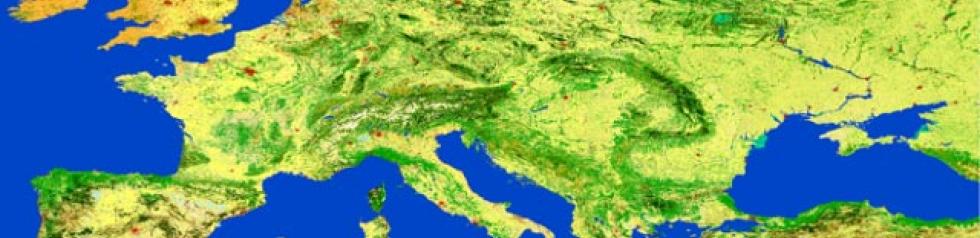
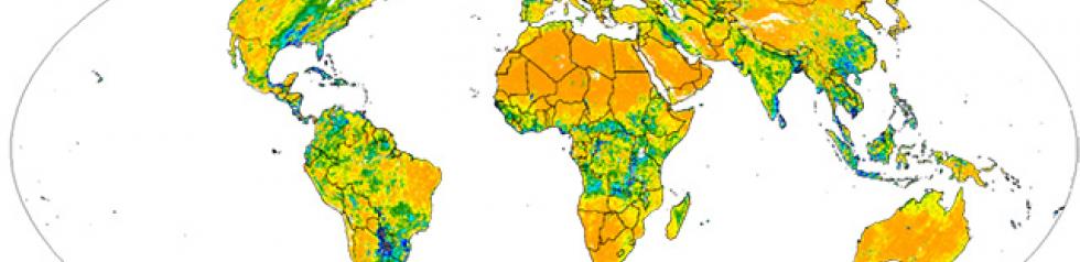
ESA’s Globcover project’s 300 m resolution global map of land cover
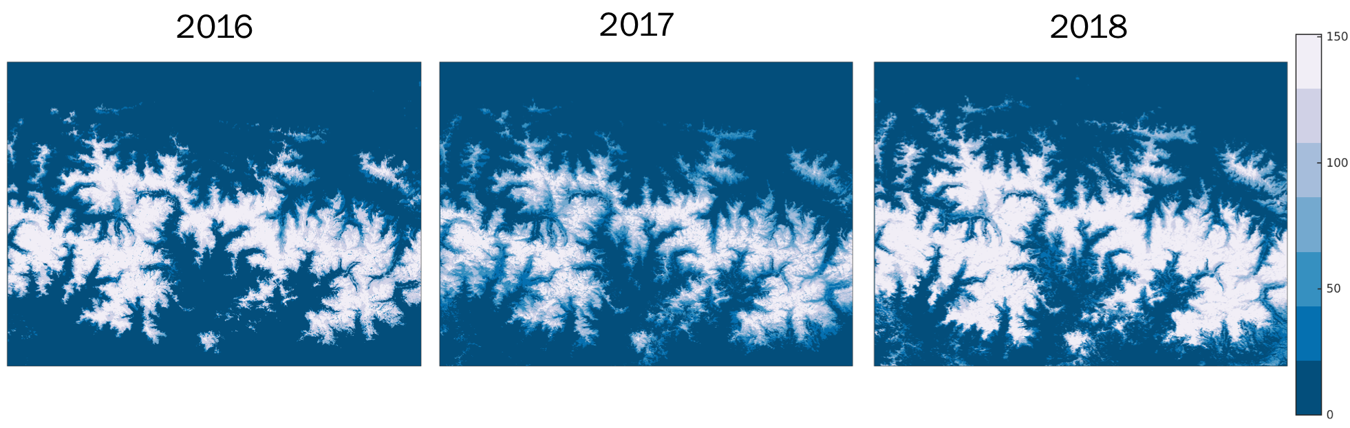
Theia Snow Product detecting the presence and the absence of snow on land surface.
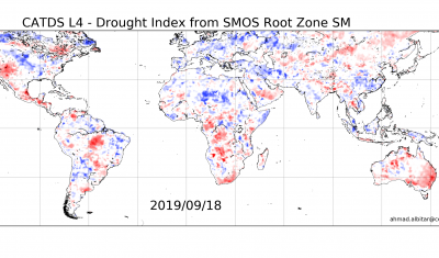
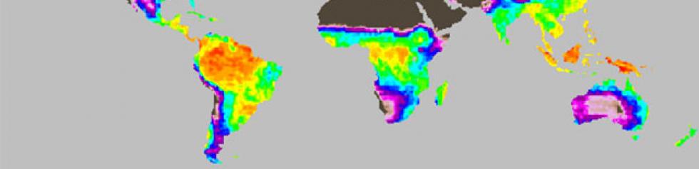
Documenting Drought Data with 25 km resolution worlwide
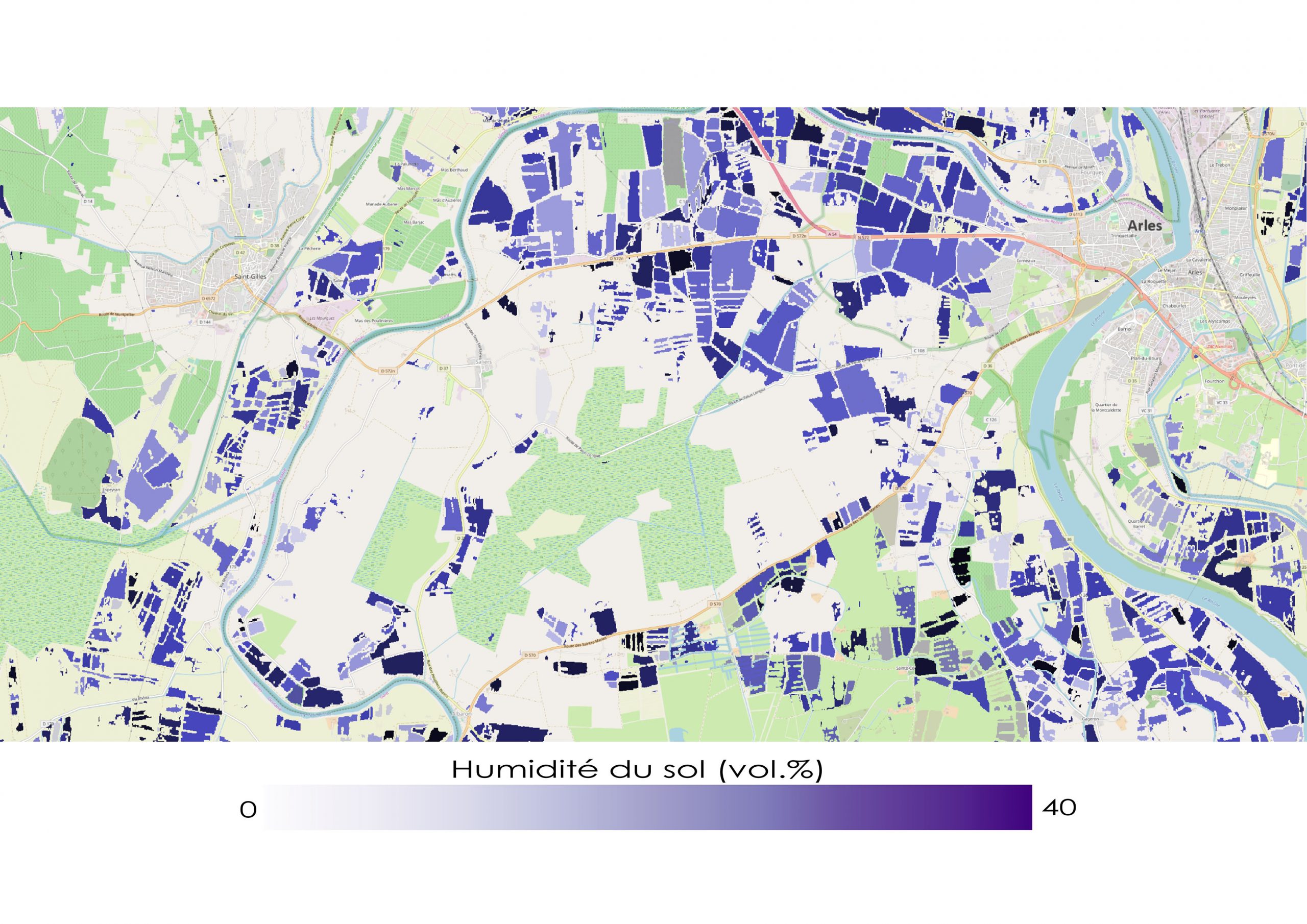
Soil moisture maps with high temporal repetitiveness on a sub-plot scale on numerous sites in France, Europe and around the Mediterranean basin.
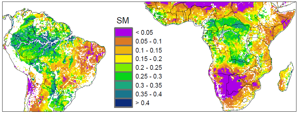
The soil surface moisture product provides worldwide absolute data at a resolution of 25 km. These data are acquired on a daily, weekly and monthly basis. The period covered began in 2002 and continues to the present day.
Geoland Soil Moisture Data, 1992-2000
Data access ftp.ifremer.fr Presentation The root zone (1 m deep) soil mosture product provides data at the global scale with 25 km resolution. These data are acquired at a daily […]
Documenting Water Level for the large lakes, reservoirs and all the world’s rivers.