Digital soil mapping SEC

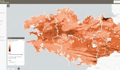
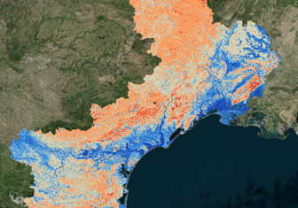
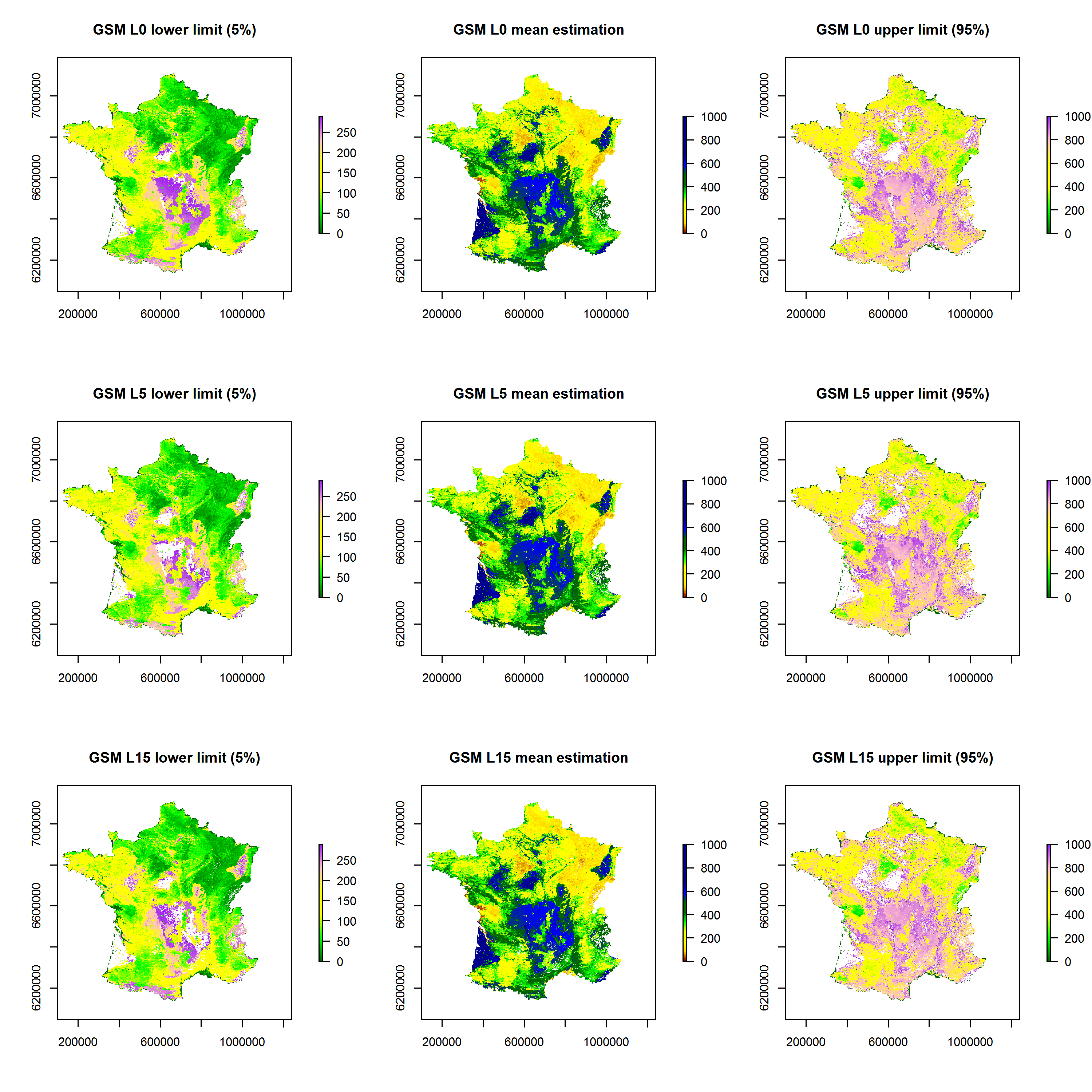
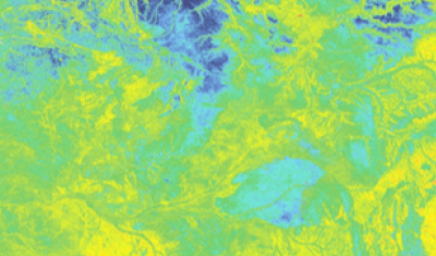
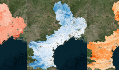
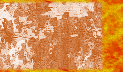
[World Soil Day] THEIA tools for documenting soil-water interactions

On December 5th, the international community dedicates World Soil Day to raising awareness of the importance of soil quality and health for the proper functioning of ecosystems and agricultural production. […]

06.12.2023

Interactive mapping of soil properties in Brittany

Theia Digital Soil Mapping experts group produces an interactive mapping of soil properties in Brittany, documenting the following variables: An online application allows you to view predictive maps of soil properties on: […]

Soil property prediction maps in Languedoc-Roussillon

Theia Digital Soil Mapping CES produces Soil property prediction maps in Languedoc-Roussillon (east part of the Occitanie region). The soil properties concerned are the particle size fractions : For each of these […]

Maps of soil particle size fractions (clay, silt, sand) and coarse element content for metropolitan France

Theia Digital Soil Mapping CES produces a series of maps of soil particle size fractions (clay, silt, sand) and coarse element content for metropolitan France.

Map of the Soil Available Water Capacity in Metropolitan France

A Water Capacity calculated from a pedo-transfer function applied to soil characteristics estimated by digital mapping techniques.

Digital Soil Mapping: educational resources and property maps

Theia Digital Mapping SEC offers new educational resources and Soil Properties Maps.

19.08.2022

Digital Soil Mapping

Mapping the sustainable properties of soils for scientists and public policy actors.

Search