ALBOMAURICE: a predictive model for mapping Aedes albopictus mosquito populations in Mauritius
Software to simulate the population dynamics of the tiger mosquito, Aedes albopictus, in Mauritius.
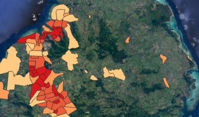
Software to simulate the population dynamics of the tiger mosquito, Aedes albopictus, in Mauritius.
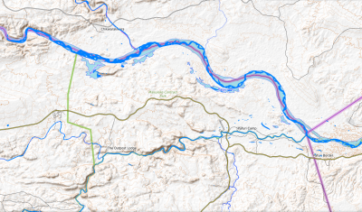
Geographic layers of monthly water surface changes for Hwangue, Gonarezhou and North Kruger National Parks in Zimbabwe, for modelling animal movements and predicting potential pathogen transmission.
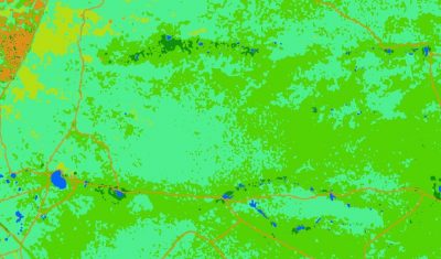
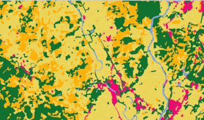
Spatialized landcover raster layers, derived from a time series of Sentinel-2 satellite images (from the year 2018), for Hwange, Gonarezhou and North Kruger National Parks in Zimbabwe.
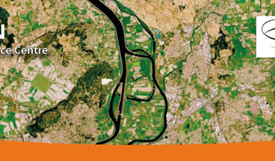
The SCO facilitators discuss the Space Climate Observatory project, through which several THEIA SECs and RANs projects have been labelled.
Read the new Theia Bulletin with all the network news, a selection of focuses on products and much more.
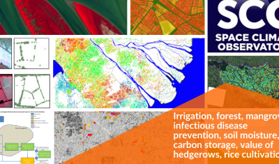
Irrigation, forest, mangrove, infectious disease prevention, soil moisture, carbon storage, value of hedgerows, rice cultivation… Update of SCO projects related to Theia SECs and RANs.
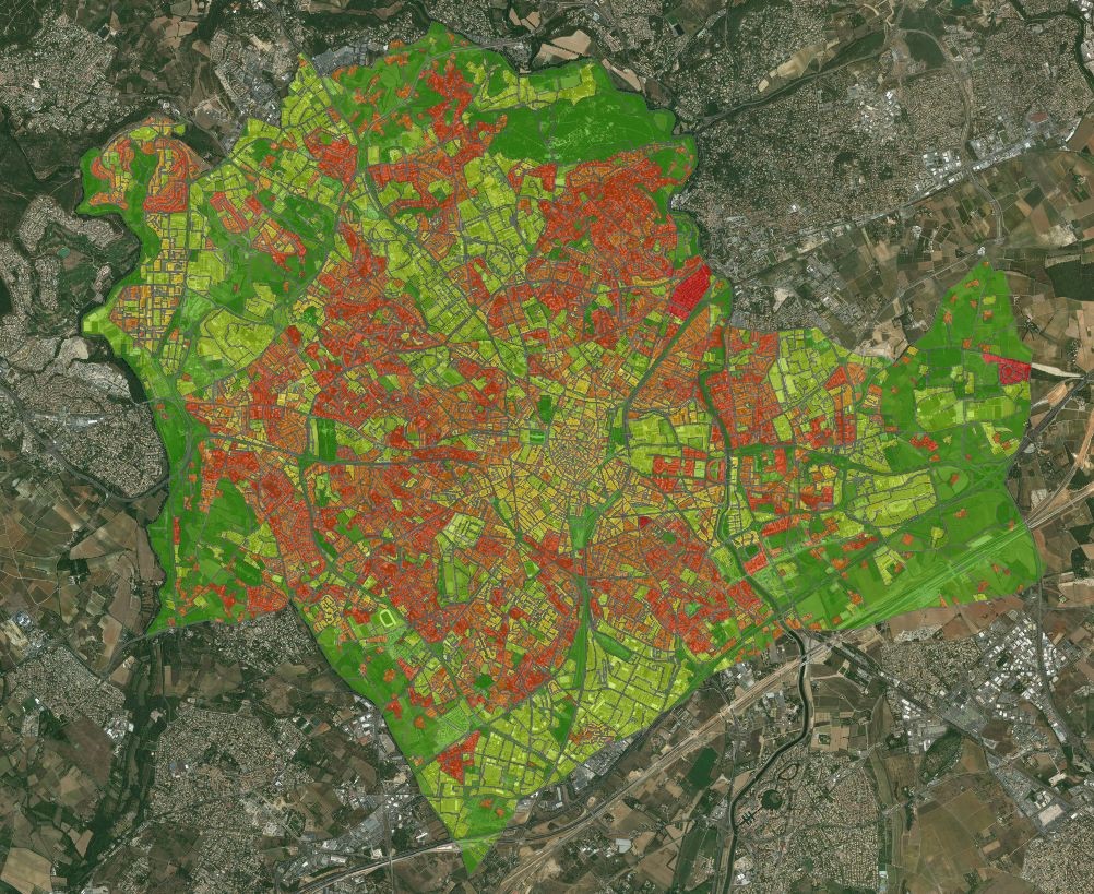
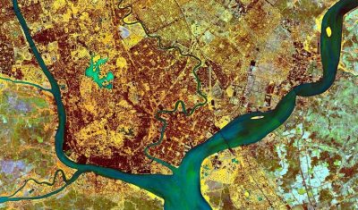
Land cover maps focusing on the relationship between health and the environment, intended to contribute to the dissemination of information on epidemiological risks related to infectious diseases to public health actors.
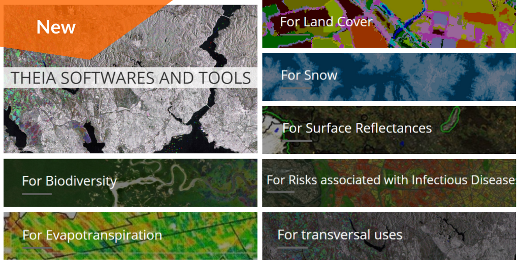
Discover Theia Software and Tools developed within Theia SECs