Hespérides and Geospatial Data Portals: Simplifying and Facilitating Access to Data
The Hespérides center, CNES’s production hub for thematic products developed within the THEIA land data hub, plays a key role in making Earth surface data available by activating processing and computation services. To access the products generated by Hespérides, users can go through several online portals. CNES’s new portals, Geodes and Hydroweb.next, have recently been added to the ecosystem of Earth observation data distribution platforms.
Geodes: Centralizing Access to Data for All
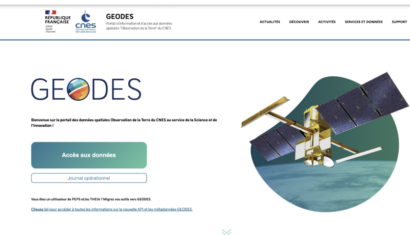
The Geodes portal was designed to centralize access to Earth observation data produced by CNES. It replaces now-closed distribution sites (Postel, Take5, theia.cnes.fr, and PEPS), offering a single point of access through a user-friendly interface. It targets a wide range of users—from the general public to experts—and makes it easy to access data and products from satellites such as Sentinel-1, Sentinel-2, SPOT, Venus, Landsat, and soon SWOT, CO3D, and Trishna.
For THEIA products, you can already find on Geodes:
Active collections (regularly updated):
• Surface reflectance products and monthly syntheses from Sentinel-2
• Surface reflectance products and monthly syntheses from Venus (VM5)
• OSO land cover products
• GEOV2-AVHRR products (biophysical variables: LAI, FAPAR, FCover)
Static or historical collections (no longer updated):
• Surface reflectance products and monthly syntheses from Venus (VM1)
• Surface reflectance products and monthly syntheses from Landsat
• Surface reflectance products from Take5
• SPIRIT product for polar ice
• Legacy products from the Postel thematic center
The goal is to provide simplified, centralized access to all space data produced under Earth observation missions. The interface lets you search using various filters (satellite, date, geographic area, specific criteria, etc.). Once filters are applied, the Results tab allows you to view available data. To download them, simply select the products and add them to your basket.
You’ll also find tutorials in the Support section to help you get started.
For advanced users, all Geodes services are available through APIs, and the PyGEODES Python library can be used to automate product search and download—perfect for developers or researchers integrating this data into their own processing chains.
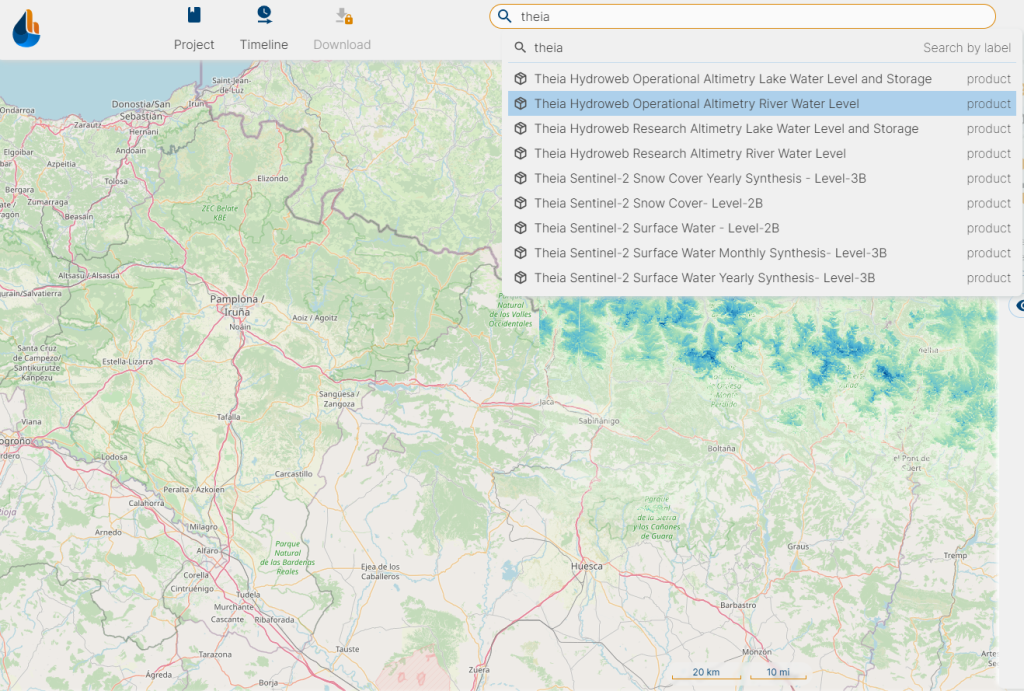
Hydroweb.next: A Portal Dedicated to Water
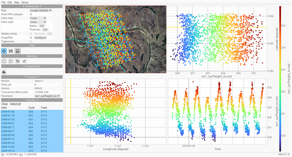
Unlike Geodes, Hydroweb.next is a specialized portal, mainly intended for hydrology experts: researchers, engineers, or agencies managing water resources. This portal provides detailed data on lake and river levels, as well as products from the SWOT mission and THEIA’s hydrology-related products.
Its interface is more advanced and therefore more complex—designed for users who need to compare and deeply analyze hydrological products. Hydroweb.next serves the scientific community working on water-related issues.
A Complementary Ecosystem of Portals
In addition to Geodes and Hydroweb.next, other portals complement the ecosystem, each serving a specific scientific purpose. CNES and its partners, within the Data Terra research infrastructure, have developed a structured set of portals tailored to diverse user needs:
Thematic portals:
- 🌍 THEIA → Land surfaces observation
https://www.theia-land.fr/ - ☁️ AERIS → Atmosphere
https://www.aeris-data.fr/ - 🌊 ODATIS → Ocean
https://www.odatis-ocean.fr/ - 🌋 FORMATERRE → Solid Earth (geophysics, seismicity, etc.)
https://www.poleterresolide.fr/ - 🌱 PNDB → Biodiversity (marine and terrestrial ecosystems)
https://www.pndb.fr
Cross-cutting portal:
- 🛰️ DINAMIS, a transversal service from Data Terra, provides access to very high-resolution (VHR) commercial imagery, mainly intended for public institutions and research projects. It also enables the mutualized programming of satellite image acquisitions.
Whether you are a student, researcher, developer, or simply curious about our planet, there is a portal suited to your needs. Thanks to tools like Geodes, Hydroweb.next, and the thematic portals of Data Terra, access to Earth observation data has never been easier. The challenge remains to keep simplifying their use, developing tailored services, and supporting users in exploring these valuable space-based resources.