Monitoring Lake and River’s Water Level: Sentinel-6A’s turn
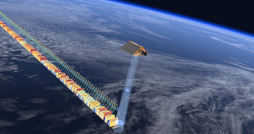
Sentinel-6A is set on the same orbit as Jason-3 in order to ensure the continuity of altimetric time series.

In order to ensure the continuity of Theia Water Levels of Lakes and Rivers (Hydroweb) products, Jason-3 mission data will be replaced by the data from the Sentinel-6A mission of the Copernicus programme from 7 April 2022.

The Sentinel-6A mission, launched in November 2020, is intended to be the new reference mission for altimetry and monitoring of water surfaces. Placed in the same orbit as Jason-3, it will provide continuity of time series on the sites processed by Hydroweb. Jason-3 will be moved to another orbit and will not be used again in a few months.

Lakes and rivers monitored by Hydroweb in April 2022.

More news

Hespérides and Geospatial Data Portals: Simplifying and Facilitating Access to Data

Access to spatial data is rapidly evolving — let’s take a closer look at the data and thematic products produced by CNES for THEIA.

AlTiS-NG GUI with Jason-2 mission on the Komadugu river, Niger

AlTiS-NG: A new tool for analysing altimetry data in hydrology

Discover AlTiS-NG, THEIA new hydrological altimetry software presented on Tuesday 24 June on the Data Terra stand at the LPS.

Data Terra, a major data player, awaits you at the Living Planet Symposium 2025

Join Data Terra at the heart of innovation at the Living Planet Symposium 2025! From June 23 to 27 in Vienna.

Search