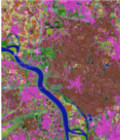
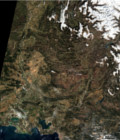
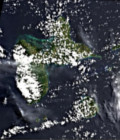
New version of fully automatic land cover map of France for 2014

The Scientific Expertise Center on Land Cover (CES OSO) has just released new land cover map examples of France produced using all the available Landsat8 data in 2014.

This land cover maps are available at http://osr-cesbio.ups-tlse.fr/~oso/ui-ol/bati-affine/layer.html. An user interface allows displaying and comparing the maps.

For more information on method for Land Cover maps production and their characteristics see https://www.cesbio.cnrs.fr/multitemp/?p=8009

More information: Land cover CESLand cover map

More news

AlTiS-NG GUI with Jason-2 mission on the Komadugu river, Niger

AlTiS-NG: A new tool for analysing altimetry data in hydrology

Discover AlTiS-NG, THEIA new hydrological altimetry software presented on Tuesday 24 June on the Data Terra stand at the LPS.

Data Terra, a major data player, awaits you at the Living Planet Symposium 2025

Join Data Terra at the heart of innovation at the Living Planet Symposium 2025! From June 23 to 27 in Vienna.

Engineer in remote sensing applied to monitoring tropical forest ecosystems

The INRAE offers a remote-sensing engineer position in TETIS laboratory, Montpellier, France.

Search