UPDATE OF RESOURCES ON THEIA AND COPERNICUS SNOW PRODUCTS
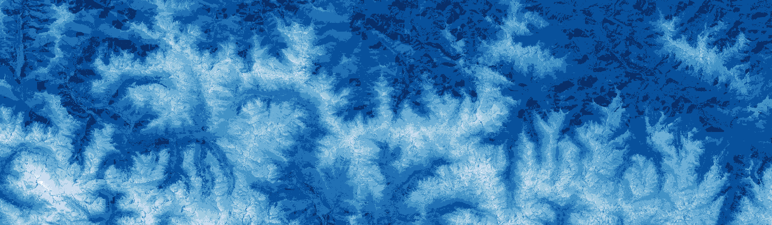
Theia Snow Covered Surface SEC, composed of teams from Cesbio, IGE, CNRM (CEN) and Legos, has developed two products dedicated to monitoring snow cover:
- A mask indicating the presence or absence of snow, at 20 m resolution, from Sentinel-2 images,
- An annual summary of the duration of snow cover per pixel between September, 1st and August 31th of each year.
A derived Copernicus Snow product, Fractional Snow Cover, also exists since 2020.
For a more recent and complete presentation of Theia Snow products and their uses, please visit the page of the dedicated thematic workshop that took place in Toulouse on October 17th, 2022.
Resources adapted to end-users
Following the presentation webinar of these Snow Theia products on March 29th, 2021, organized by OPenIG and CEREMA, video tutorials and thematic sheets have been produced.
As the tools have evolved, we are pleased to offer you the updated versions of these different resources:
Tutorial for handling Theia Snow products (FR with English subtitles):
Tutorial for handling Copernicus Snow products (FR with English subtitles):
For further information
OPenIG has also produced data sheets (in French) for all interested parties.
For technicians, geomaticians and other experts:
For elected officials and the public: