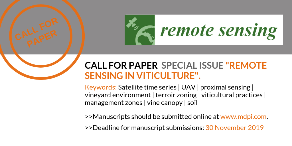
Call for Paper Special Issue “Remote Sensing in Viticulture”
The journal Remote Sensing (ISSN 2072-4292, IF 3.244) is currently running a Special Issue entitled “Remote Sensing in Viticulture”. Dr. Emmanuelle Vaudour, Dr. Alessandro Matese, Dr. Jose M. Peña and Dr. Konstantinos Karantzalos are serving as Guest Editors for this issue. We think you could make an excellent contribution based on your expertise.
For further reading, please follow the link to the Special Issue Website at: https://www.mdpi.com/journal/remotesensing/special_issues/viticulture.
The submission deadline is 30 November 2019. You may send your manuscript now or up until the deadline. Submitted papers should not be under consideration for publication elsewhere. We also encourage authors to send a short abstract or tentative title to the Editorial Office in advance (remotesensing@mdpi.com).
Remote Sensing is fully open access (unlimited and free access by readers). Open access is supported by the authors and their institutes. The Article Processing Charges (APC) for accepted papers are CHF 1800. You may be entitled to a discount if you have previously received a discount code or if your institute is participating in the MDPI Institutional Open Access Program (IOAP), for more information see: http://www.mdpi.com/about/ioap.
For further details on the submission process, please see the instructions for authors at the journal website (http://www.mdpi.com/journal/remotesensing/instructions).