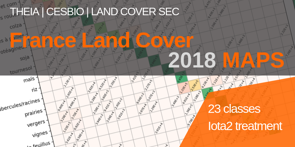
2018 Land Cover Product
All the 2018 Land Cover products (RASTER and VECTOR) are now available online on the Cnes website for Theia. This is our opportunity to introduce all the novelties of the 2018 Vintage.
Novelties of the 2018 Land Cover Maps
The 2018 Land Cover product presents two new features on previous versions:
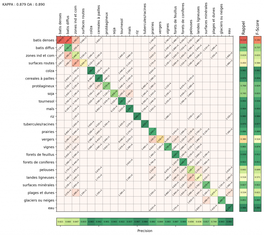
- The nomenclature has increased from 17 to 23 classes. The “winter crops” class now distinguishes between straw cereals, rapeseed and protein crops. Summer crops distinguish areas covered with sunflower, corn, rice, tuber or roots.
- The production was carried out by the CNES/DNO/OT/PE team that operates the IDS Theia.
This map was produced with all 2018 Sentinel-2 data processed at level 2A and made available by Theia. Adding additional classes did not degrade the quality of the map compared to previous years. The confusion matrix below shows the usual confusions within the artificialized classes, some confusions within the annual crops and the strong confusion between lawns and moors, which is always difficult to resolve because of their positions at the centre of the gradient from mineral surfaces to forests and whose physiognomic boundaries are difficult to define.
Contact

Jordi Inglada
Cesbio
ResearchGate
@J.Inglada
Contributions