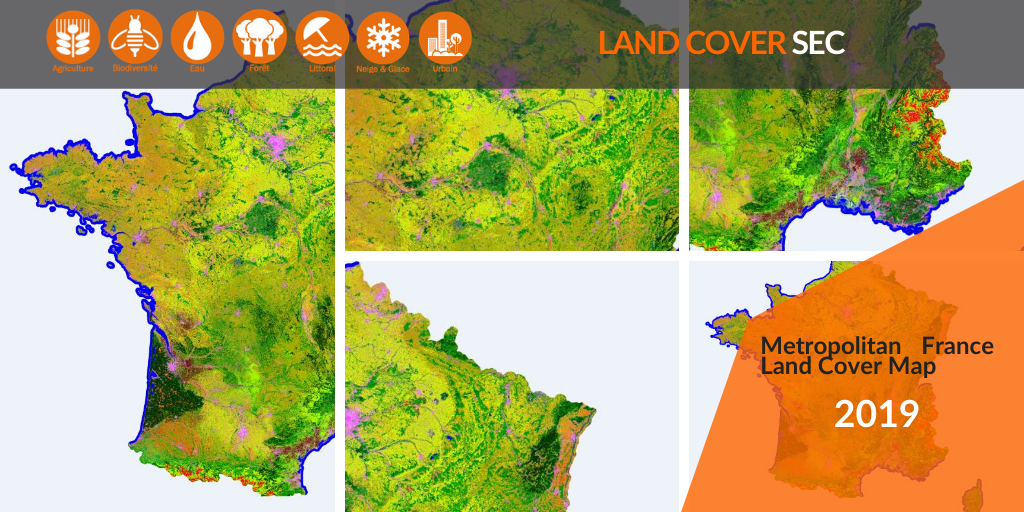
2019 Land Cover Map for France
Download now the 2019 Raster file for Metropolitan France Land Cover.
Publications
Download now the 2019 Raster file for Metropolitan France Land Cover.

Agenda
Submit now your paper on Machine Learning for the MACLEAN 2020 event in Ghent in conjunction with ECMLPKDD
News
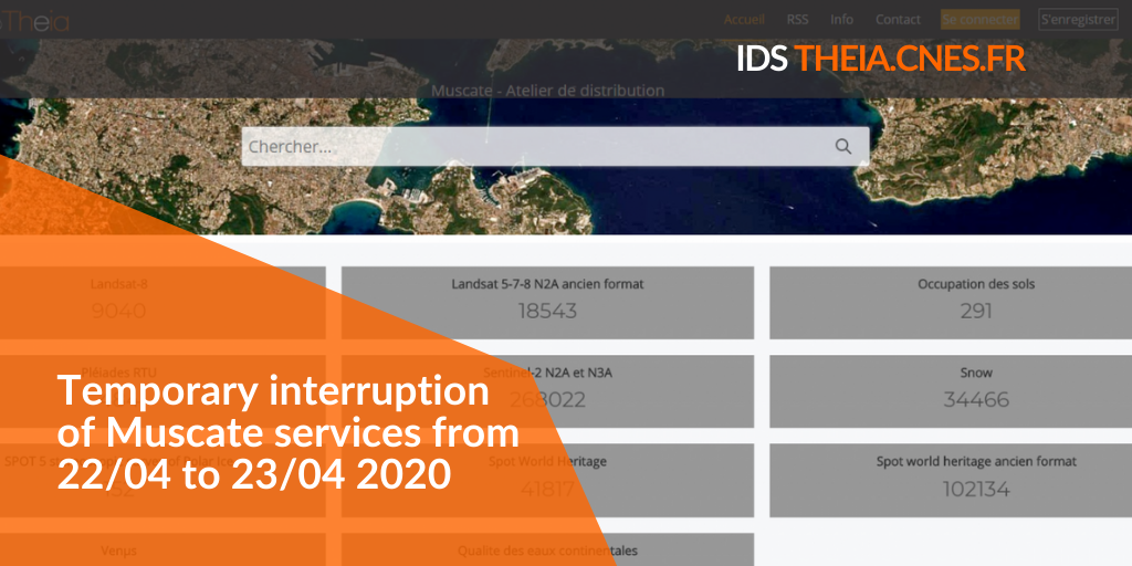
Muscate services should be interrupted between April 22th to April 23th.
Publications
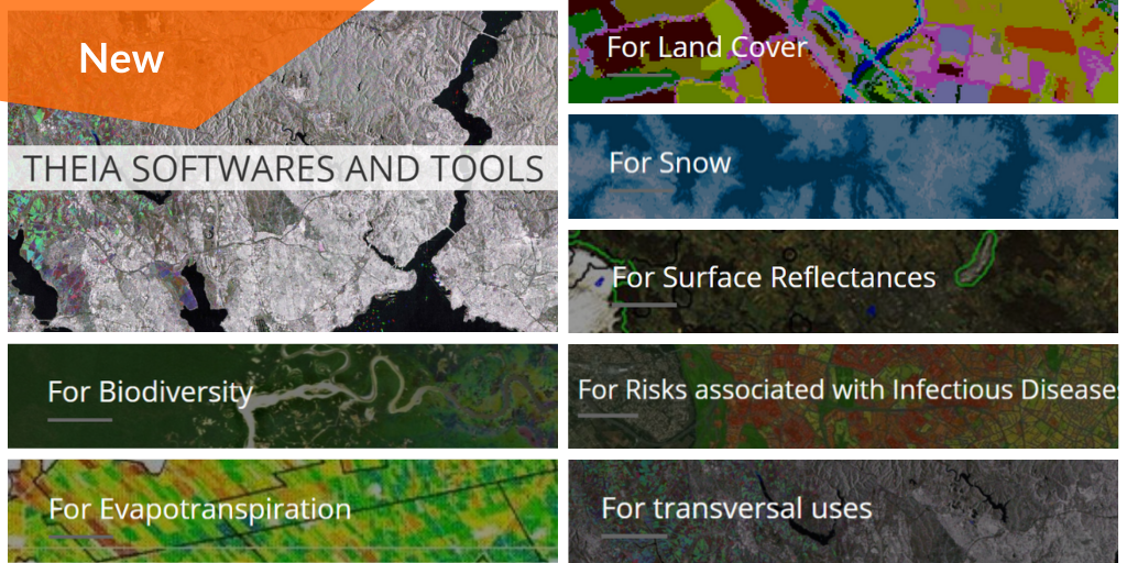
Discover Theia Software and Tools developed within Theia SECs
Publications
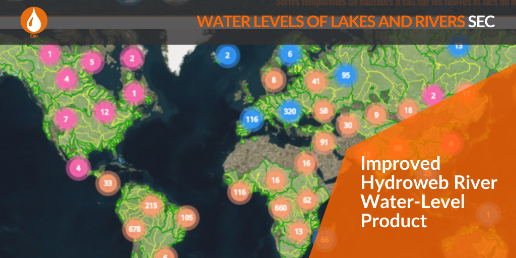
Check the improvement on file content and metadata on Hydroweb River Product.
News
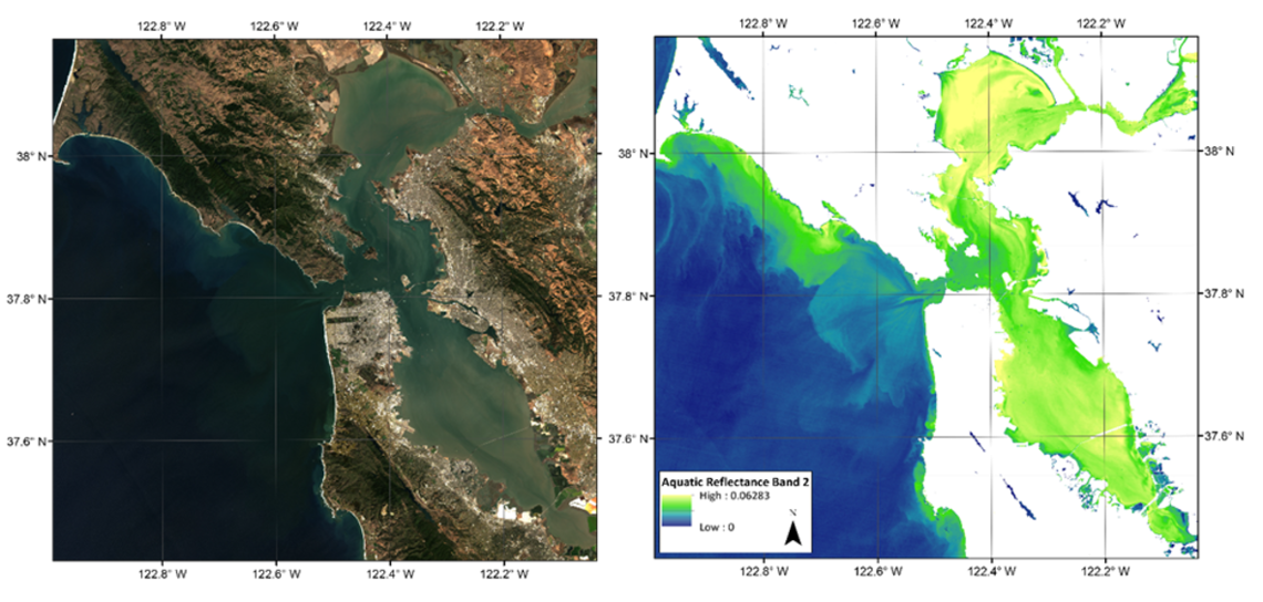
Discover the new provisional Aquatic Reflectance product released by the USGS Landsat program and USGS EROS
Publications
A focus on the use of remote sensing for forests, including the contribution of the biodivMapR tool.
Publications
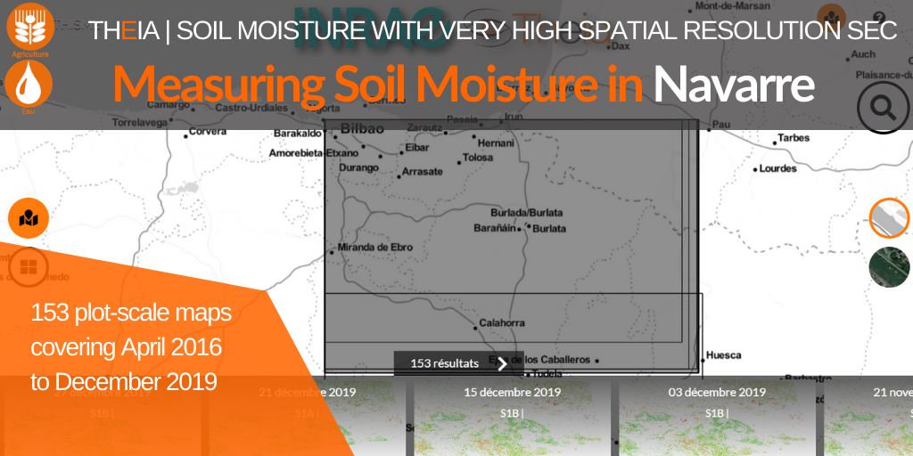
The collection for Navarre brings 153 additional maps and a 15th site to the very high spatial resolution Soil Moisture product.
Publications
Jean-Pierre Wigneron, active researcher in two Theia SECs and facilitator of Theia Nouvelle Aquitaine Animation Network, shares with us his vision of Theia.
Publications
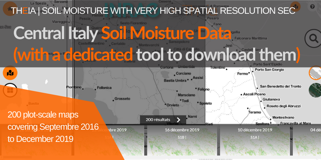
Discover the collection of very high spatial resolution soil moisture maps for Central Italy and the new THISMEDownload.py batch download script.

Agenda
Registration is now open. Please feel free to spread the word.
Publications
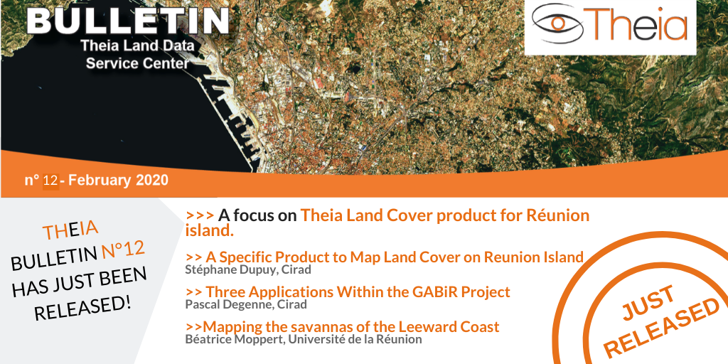
A focus on Theia Land Cover on Reunion Island product, its methods and uses.