New Dissemination Portal for THEIA River and Lake Water Level Products – HYDROWEB
Discover the new hydroweb.next portal, which now include Theia Lake and River Water Level Products, Hydroweb
Products
Discover the new hydroweb.next portal, which now include Theia Lake and River Water Level Products, Hydroweb
Products
Find Theia Snow product on hydroweb.next along with other signifiative hydrological data and products.
News
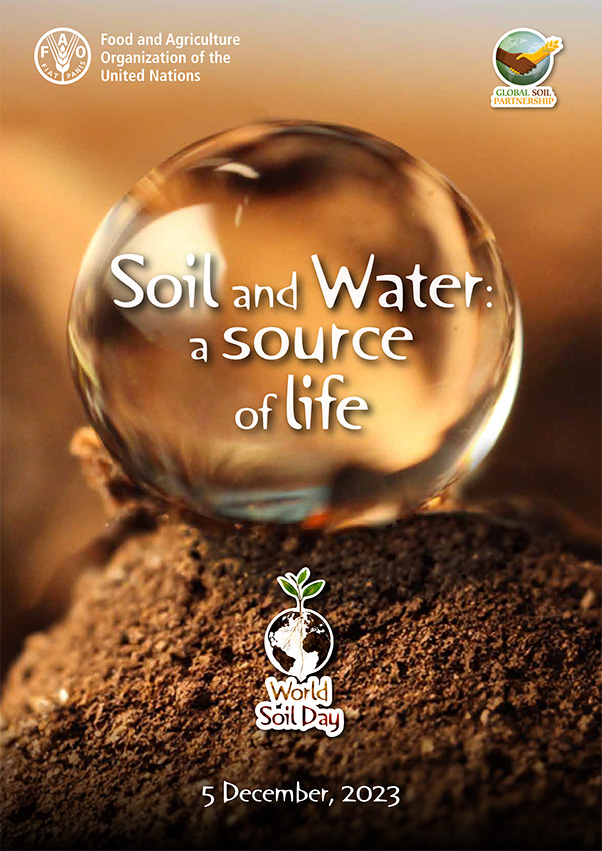
On December 5th, the international community dedicates World Soil Day to raising awareness of the importance of soil quality and health for the proper functioning of ecosystems and agricultural production. […]
Publications
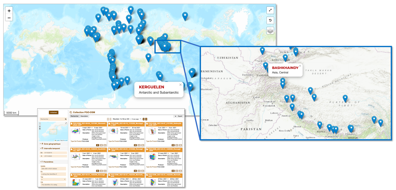
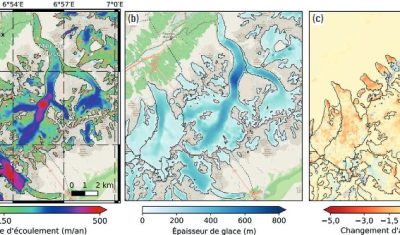
The Pléiades Glacier Observatory was initiated in 2016 by French Space Agency (CNES), by the Laboratoire d’Etudes Géophysiques et Océanographiques Spatiales (LEGOS) and by the Institut National des Sciences de […]
Products
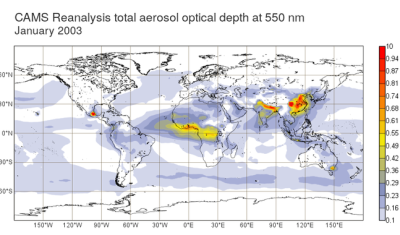
From the end of September, the MAJA processing chain will be using CAMS 48r1 data for the production of Theia Surface Reflectance products.
News
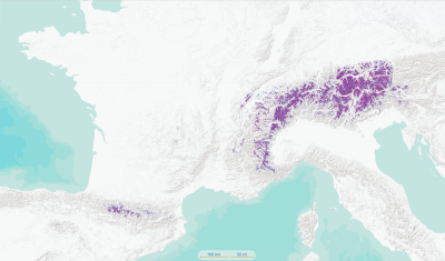
The 3 glacier products available on Theia offer an unprecedented global overview of the evolution of glaciers.
Products
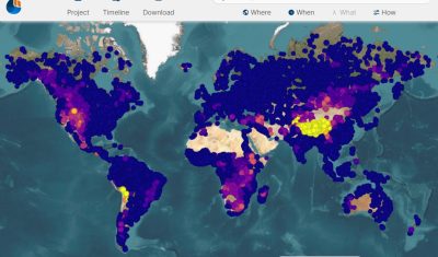
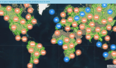
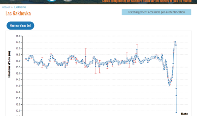
The database Hydroweb offers River Height and Lake Height products derived from spatial altimetry. These time series provide the height of rivers and the height of lakes and reservoirs around the world […]
News
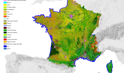
Like every year at this time, you’re invited to discover the new version of the OSO product, from the S.E.C Land cover. The 2022 version was released a few days […]
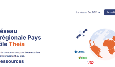
Theia Regional Animation Network
The website of the ART GeoDEV, the Theia Regional Animation network that CIRAD, IRD and CNES have been leading since 2017 in the direction of Southern countries, is evolving to […]
Agenda
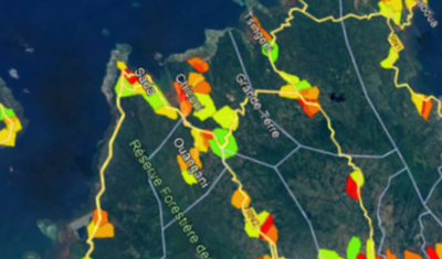
Three days of workshops for users of the Arbocarto tool were organised in Montpellier and in “hybrid” mode, from 9 to 12 May 2023. These days were organised in hybrid […]
Products
The development of CAMS aerosol products requires MAJA to be adapted and has an impact on the production of Reflectance Theia products.
Products
Hydroweb data is used to track the world’s major rivers and reservoirs. It documents the end of the Kakhovka reservoir.