lidaRtRee | an R package providing forest analysis tools
lidaRtRee is an R package that provides functions for forest analysis using airborne laser scanning (LiDAR remote sensing) data:

lidaRtRee is an R package that provides functions for forest analysis using airborne laser scanning (LiDAR remote sensing) data:
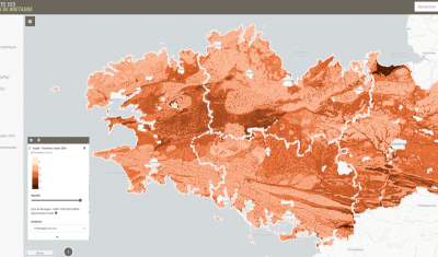
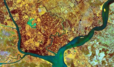
Theia Digital Soil Mapping experts group produces an interactive mapping of soil properties in Brittany, documenting the following variables: An online application allows you to view predictive maps of soil properties on: […]
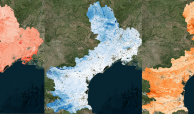
Theia Digital Mapping SEC offers new educational resources and Soil Properties Maps.
>>>News from the network: Nomination of Anne Puissant as Theia new Scientific Director; Theia workshop on irrigated areas; Trishna Days ; GAIA Data and Terra Forma Kick-Offs, Critical Zone Award, […]
Software able simulate the population dynamics of Aedes albopictus and Aedes aegypti.

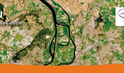
The AlTiS-NG software allows the visualisation of altimetry data and the creation of water level time series on rivers, lakes and flooded areas.
The SCO facilitators discuss the Space Climate Observatory project, through which several THEIA SECs and RANs projects have been labelled.
Read the new Theia Bulletin with all the network news, a selection of focuses on products and much more.
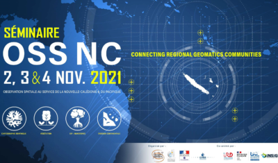
Save the date and register to the OSS-NC workshop, previously suspended because of the sanitary situation in New Caledonia.