The IRD (UMR ESPACE-DEV), CIRAD (UMR Tetis) and the CNES (continental environment and hydrology programmes) have joined forces to propose a Theia Regional Animation Network (TRAN) – South Countries and set up a network of centres of expertise in space observation. This network is called GeoDEV.
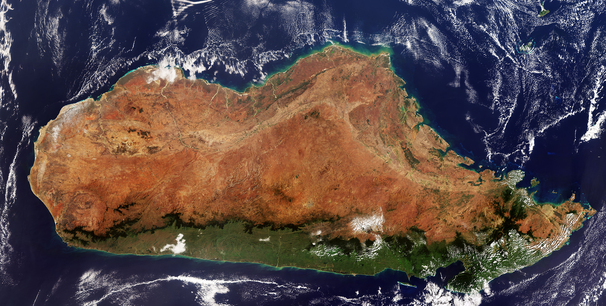
GeoDEV will support the countries and regions of the South in mastering space observation to better understand and govern, and thus better respond to the major challenges of monitoring the environment in the inter-tropical belt.
Inform, share, co-develop
The network’s partners focus on three types of action:
- Inform, build skills and co-produce knowledge in remote sensing, in priority thematic areas.
- Sharing data infrastructures, tools and processing services tailored to the network’s regions and themes, through North/South, South/North and South/South exchanges.
- Co-develop thematic applications and products as part of scientific and institutional cooperation projects linked to the Theia thematic SECs.
The “Inform, strengthen, co-produce” section has already begun, with the organisation of GeoDEV country days, scientific meetings linked to earth observation. Depending on the country and the context, the themes of these first days have different purposes and forms of implementation. These themes include :
- helping user communities to express their needs,
- a review of remote sensing skills and capabilities,
- capacity building and training,
- access to data,
- treatment needs,
- sharing solutions,
- uses for research and public policy,
- the development of applications or downstream services,
- presentation of research results…presentation of research results…
A website and a Facebook page
The theia-land.art-geodev.fr website, launched in October 2018, broadcasts all the latest news from the network!
Latest news published on theia-land.art-geodev.fr
- Focus on a key project aimed at strengthening capacity in space hydrology and improving water management in Africa.
- Rendez-vous à Lyon pour cette 5ᵉ édition de l’atelier TEMU, organisée par les groupes d’experts thématiques « Urbain » du CES Occupation des terres et « Températures de surface » du CES Imagerie et Radiométrie du pôle THEIA de Data Terra.
- Les 31 mars et 1er avril 2025, rendez-vous à Marseille pour le rassemblement le plus important dédié aux questions d’adaptations.
- Du 10 au 14 février, rendez-vous à Frascati en Italie pour assister à la conférence.
ART is also active on Facebook.
Contact

Jean-François Faure
IRD
@JF.Faure

Benoit Mertens
IRD
@B.Mertens

Philippe Maisongrande
CNES | Land Biosphere Program Manager
ResearchGate
@P.Maisongrande

Agnès Bégué
CIRAD | TETIS
@A.Begue
Linda Tomasini
Cnes
@L.Tomasini