Hespérides and Geospatial Data Portals: Simplifying and Facilitating Access to Data
Access to spatial data is rapidly evolving — let’s take a closer look at the data and thematic products produced by CNES for THEIA.
Access to spatial data is rapidly evolving — let’s take a closer look at the data and thematic products produced by CNES for THEIA.

Discover AlTiS-NG, THEIA new hydrological altimetry software presented on Tuesday 24 June on the Data Terra stand at the LPS.
Join Data Terra at the heart of innovation at the Living Planet Symposium 2025! From June 23 to 27 in Vienna.

Two years after the launch of the French-American SWOT mission, what progress has been made in monitoring continental waters ?
The CDS THEIA of CNES is opening new centers to improve access to and dissemination of Earth observation data.
The CDS THEIA Team at CNES is pleased to announce the resumption of value-added product production starting December 12, 2024, on its new production center. This production resumption, effective from […]
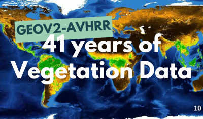
The GEOV2-AVHRR collection includes the 2022 version of 3 essential vegetation variables (LAI, FAPAR, FCOVER). The whole data processing has also been updated.

The Sentinel-2C satellite was launched by ESA and the Copernicus programme on 4 September 2024 on a VEGA launcher. As soon as it is operational, nominally following an estimated 3-month […]
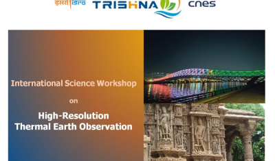
Save already the date for the coming 2nd French-Indian Workshp dedicated to HR thermal observation.