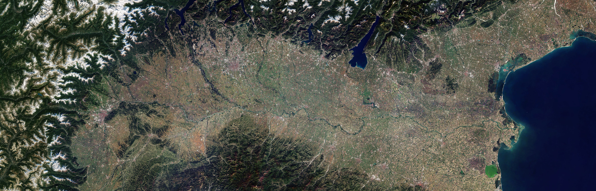
Land Surface Remote Sensing
Series of books on remote sensing applied to continental surfaces are available in english and french version from ISTE-Elsevier editions. This series is designed for those who wish to discover […]

Series of books on remote sensing applied to continental surfaces are available in english and french version from ISTE-Elsevier editions. This series is designed for those who wish to discover […]
A selection of teaching material related to remote-sensing and Earth observation.
Meeting the scientific community and users’ needs, Theia offers a regional animation and tools.
A selection of free and open source software, useful for processing satellite images.
Theia facilitates national networking among the satellite community through the implementation of regional animation networks (TRAN – ART in French), mainly in France but also abroad in Southern Countries. Since […]
An introduction to the different training courses in remote sensing and Earth observation in France.
Due to a major evolution of the CNES Cluster infrastructure, the CNES servers of Theia won’t be available from July 25th 9h to July 26th 20h.More information: Data access
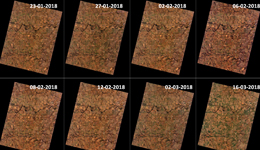
A set of 35 images (L1C) acquired over the Venµs sites since January 2018 are available for download on the following Cnes web site theia.cnes.fr
The RUS Service (Resarch and User Support for Copernicus Core Product) opens to public Sentinel users on the 25th of September 2017.