LidarForFuel
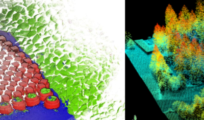
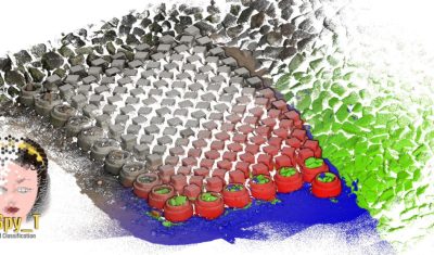
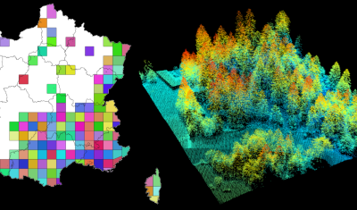
lidarforfuel aims to compute fuel metrics from airborne LiDAR data and map them at a large scale.
THEIA Centre for Scientific Expertise (SEC) IN Image & Radiometry brings together a network of laboratories working on image (including 3D) and signal processing for continental surfaces on a national and international scale.
The aim is to develop and propose innovative methods to offer products and services tailored to the challenges and needs of scientific users.
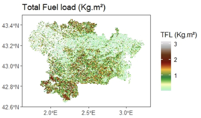
lidarforfuel aims to compute fuel metrics from airborne LiDAR data and map them at a large scale.
Publications
Join Data Terra at the heart of innovation at the Living Planet Symposium 2025! From June 23 to 27 in Vienna.

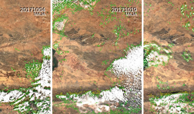
The Weighted Average Synthesis Processor (WASP) is designed to provide monthly syntheses of Sentinel-2 surface reflectance products over land.
Softwares & algorithmes