
Access
Description
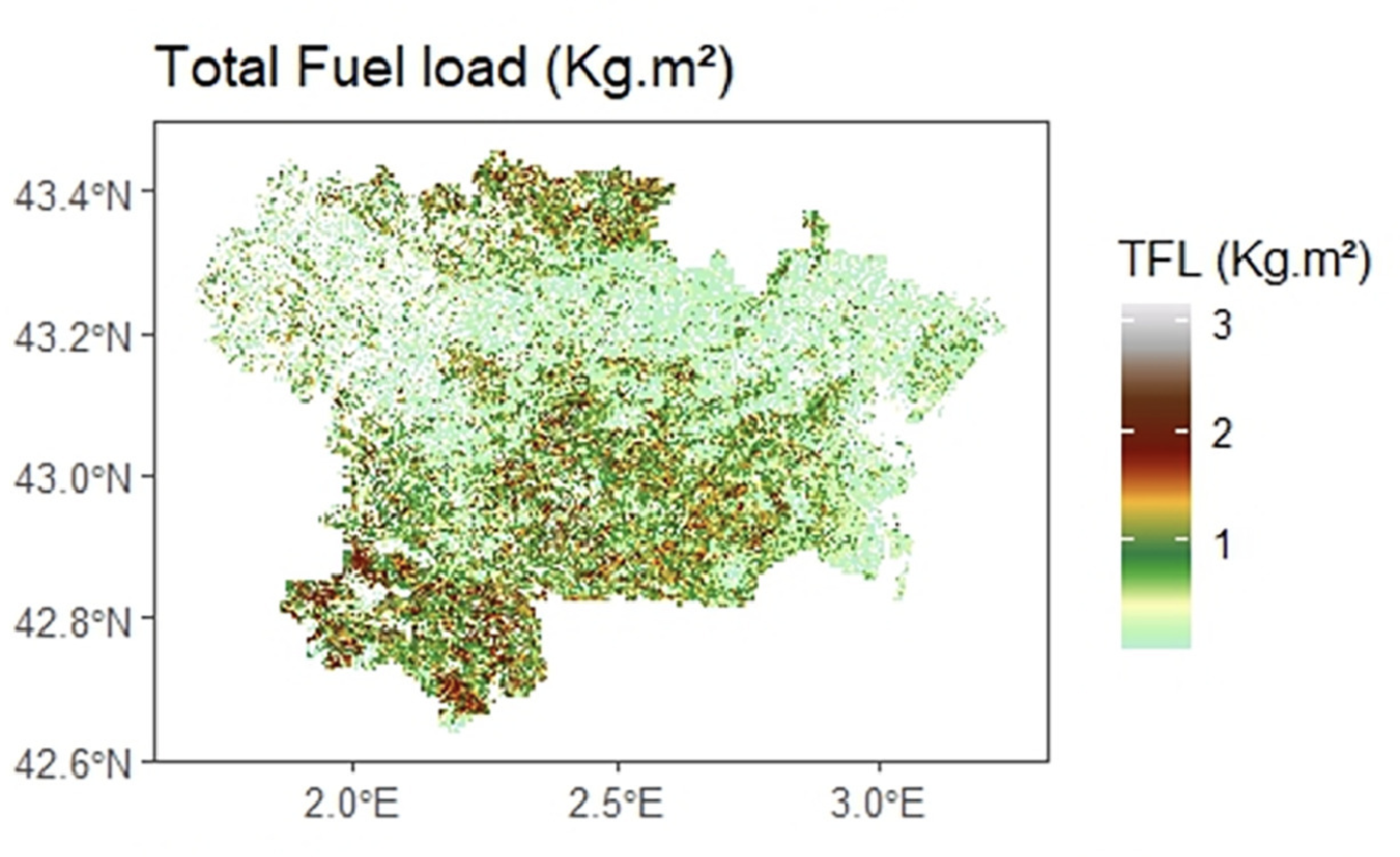
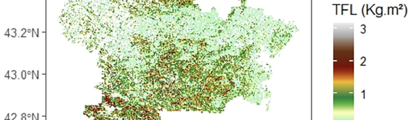
lidarforfuel aims to compute fuel metrics from airborne LiDAR data and map them at a large scale. As such, it may be usefull in fire risk assessment.
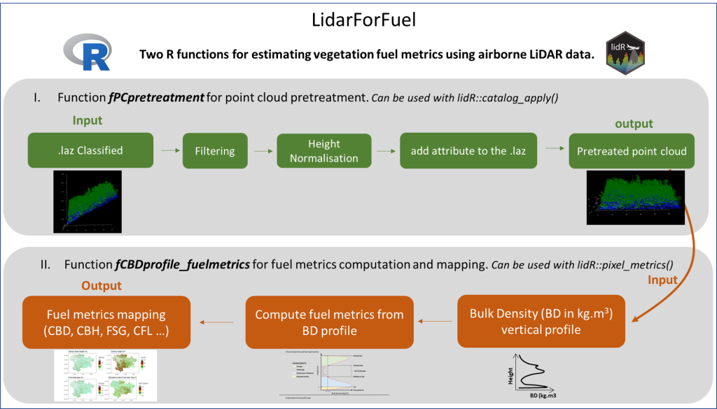
Currently, two R functions have been developed:
1) fPCpretreatment: pretreatment of a point cloud and 2
) fCBDprofile_fuelmetrics: computing fuel metrics.
These functions can be used either at the plot scale for specific analyses on small areas or at a large scale using a catalog of LiDAR tiles from the lidR package.
Référence
Olivier Martin-Ducup, Jean-Luc Dupuy, Maxime Soma, Juan Guerra-Hernandez, Eva Marino, Paulo M. Fernandes, Ariadna Just, Jordi Corbera, Marion Toutchkov, Charlie Sorribas, Jerome Bock, Alexandre Piboule, Francesco Pirotti, François Pimont,
Unlocking the potential of Airborne LiDAR for direct assessment of fuel bulk density and load distributions for wildfire hazard mapping, Agricultural and Forest Meteorology, Volume 362, 2025, 110341, ISSN 0168-1923, https://doi.org/10.1016/j.agrformet.2024.110341.