OSO 2023 Data : a little more patience ahead
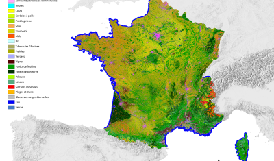
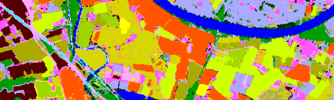
THEIA Land Cover product is produced each year by CESBIO and CNES. It provides a 24-class typology of land cover, downloadable by department for mainland France. Production begins in January […]
THEIA Land Cover product is produced each year by CESBIO and CNES. It provides a 24-class typology of land cover, downloadable by department for mainland France. Production begins in January […]

Like every year at this time, you’re invited to discover the new version of the OSO product, from the S.E.C Land cover. The 2022 version was released a few days […]
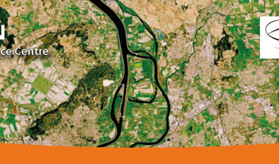
Tool Access Presentation Iota2 – Infrastructure for Land Use by Automatic Processing Incorporating Orfeo Toolbox Applications is the name of the renowned land use map production chain developed at CESBIO […]
>>>News from the network: Nomination of Anne Puissant as Theia new Scientific Director; Theia workshop on irrigated areas; Trishna Days ; GAIA Data and Terra Forma Kick-Offs, Critical Zone Award, […]
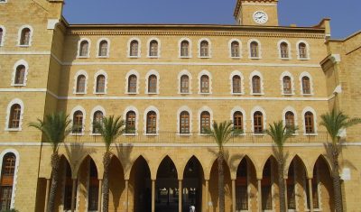
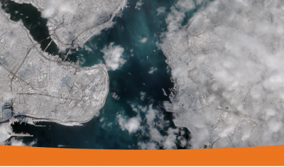
A French Lebanese Summer School aiming to build capacity on Copernicus data and further academic relationships.
The 2020 edition, which was slightly later than the previous ones, is now available with its 23 land cover classes for Metropolitan France and “refined” natural classes.
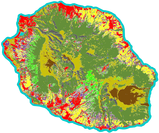
An automated soil mapping system for Reunion Island, based on the Moringa chain, using Spot6/7 or Pleiades images.
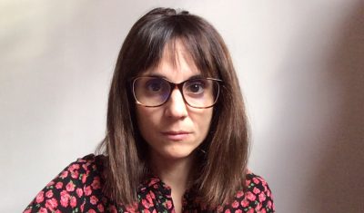
Meet with Silvia Valero, the new facilitator for Theia Land Cover SEC. She shares here her ambitions and expectations.
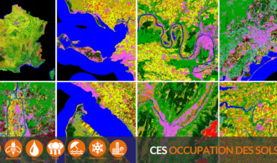
Read the new Theia Bulletin with all the network news, a selection of focuses on products and much more.