LidarForFuel
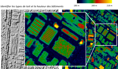
lidarforfuel aims to compute fuel metrics from airborne LiDAR data and map them at a large scale.

Developing tools adapted to the entire crisis management cycle: vulnerability analysis, hazard mapping, rehabilitation and long-term prevention.
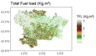
lidarforfuel aims to compute fuel metrics from airborne LiDAR data and map them at a large scale.
Products
Data Terra
Annelise TRAN, CIRAD researcher and THEIA Risks associated with Infectious Diseases SEC, shares her vision of Theia consortium, its achievements as well as the challenges ahead.
Agenda
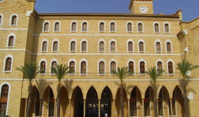
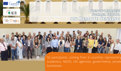
Theia-AUB Summer School in Beirut has been a huge success. All presentation and teaching material are now on-line.
Data Terra
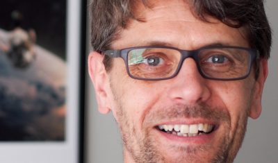
Arnaud Sellé, CNES-Partner Interoperability Manager for DINAMIS, Theia & ForM@Ter, gives us his vision of Theia contributions and challenges.

Softwares & algorithmes
The AlTiS-NG software allows the visualisation of altimetry data and the creation of water level time series on rivers, lakes and flooded areas.