Theia Elements Transferable to Companies
Most of Theia products, softwates and tools developed within Theia SECs are delivered under open licences (ETALAB, Creative Commons, etc.). Private stakeholders such as scientists, administrations or local authorities can therefore use them and develop their own uses, especially commercial ones.
To manufacture Theia products, Theia SECs have developed processing chains, most of which are distributed under open licences. Interested companies can contact these SECs to find out more and, if necessary, receive advice on their implementation.
Some Examples of Transfer and Cooperation with Companies
| Private companies | Theia Transfered Product or Treatment | Developing Theia SEC |
|---|---|---|
| Magellium | Snow | Snow-covered surface SEC |
| TerraNIS | Sat’Irr | Evapotranspiration SEC |
| CLS | Hydroweb | Water levels of lakes and rivers SEC |
| Kermap, Aistechspace, Magellium, Geoface, Cap Gemini, etc. | Maja | Surface Reflectance SEC |
Theia News on Private actors
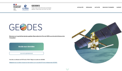
Hespérides and Geospatial Data Portals: Simplifying and Facilitating Access to Data
Access to spatial data is rapidly evolving — let’s take a closer look at the data and thematic products produced by CNES for THEIA.

AlTiS-NG: A new tool for analysing altimetry data in hydrology
Discover AlTiS-NG, THEIA new hydrological altimetry software presented on Tuesday 24 June on the Data Terra stand at the LPS.
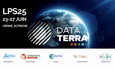
Data Terra, a major data player, awaits you at the Living Planet Symposium 2025
Join Data Terra at the heart of innovation at the Living Planet Symposium 2025! From June 23 to 27 in Vienna.
Engineer in remote sensing applied to monitoring tropical forest ecosystems
The INRAE offers a remote-sensing engineer position in TETIS laboratory, Montpellier, France.
Theia News on Transfer
Hespérides and Geospatial Data Portals: Simplifying and Facilitating Access to Data
Access to spatial data is rapidly evolving — let’s take a closer look at the data and thematic products produced by CNES for THEIA.
AlTiS-NG: A new tool for analysing altimetry data in hydrology
Discover AlTiS-NG, THEIA new hydrological altimetry software presented on Tuesday 24 June on the Data Terra stand at the LPS.
Data Terra, a major data player, awaits you at the Living Planet Symposium 2025
Join Data Terra at the heart of innovation at the Living Planet Symposium 2025! From June 23 to 27 in Vienna.
Engineer in remote sensing applied to monitoring tropical forest ecosystems
The INRAE offers a remote-sensing engineer position in TETIS laboratory, Montpellier, France.