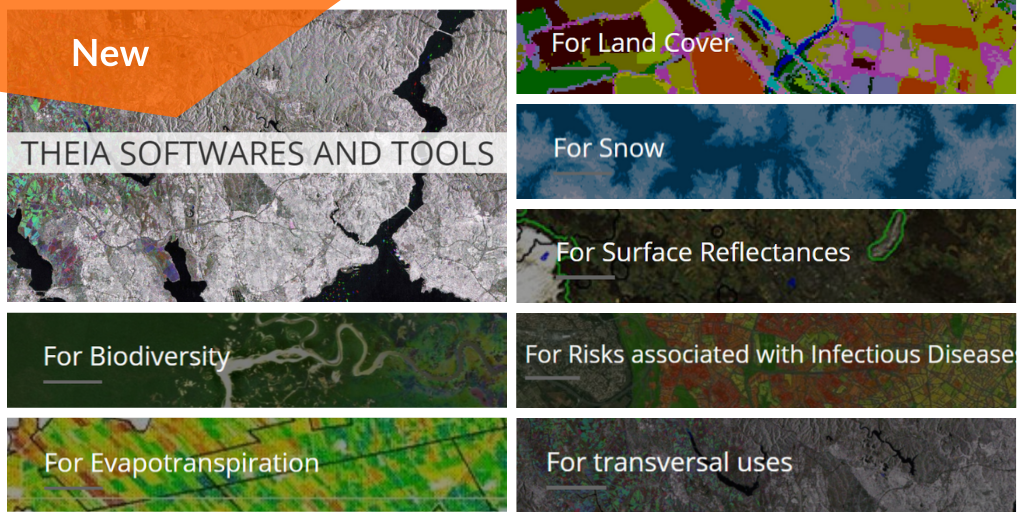
Theia Software and Tools
Discover Theia Software and Tools developed within Theia SECs
Discover Theia Software and Tools developed within Theia SECs
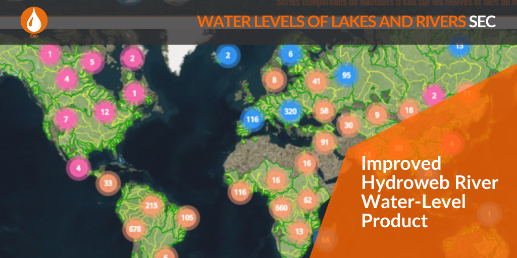
Check the improvement on file content and metadata on Hydroweb River Product.
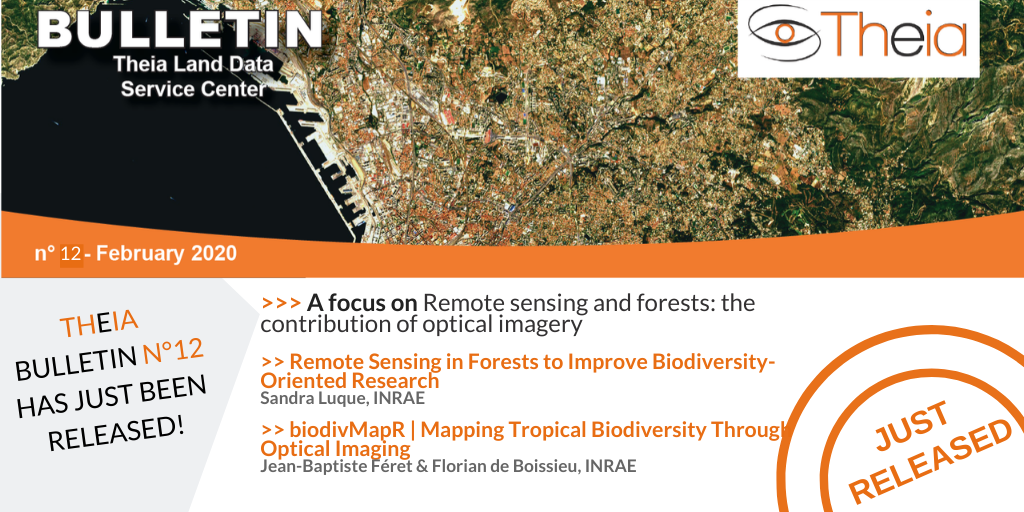
A focus on the use of remote sensing for forests, including the contribution of the biodivMapR tool.
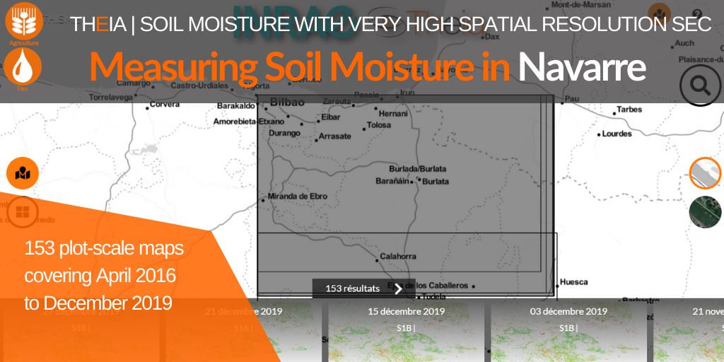
The collection for Navarre brings 153 additional maps and a 15th site to the very high spatial resolution Soil Moisture product.
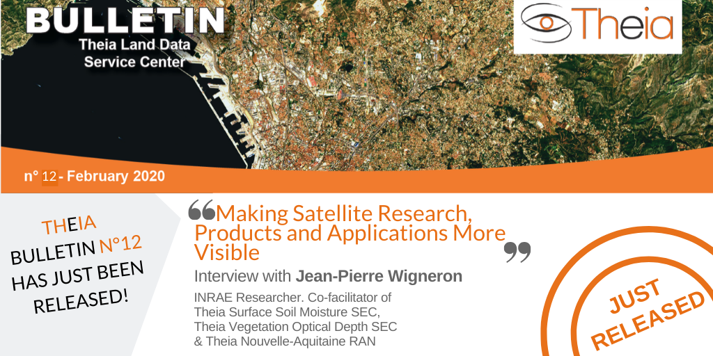
Jean-Pierre Wigneron, active researcher in two Theia SECs and facilitator of Theia Nouvelle Aquitaine Animation Network, shares with us his vision of Theia.
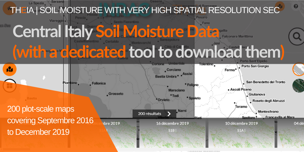
Discover the collection of very high spatial resolution soil moisture maps for Central Italy and the new THISMEDownload.py batch download script.
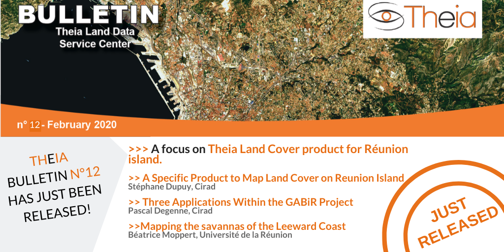
A focus on Theia Land Cover on Reunion Island product, its methods and uses.
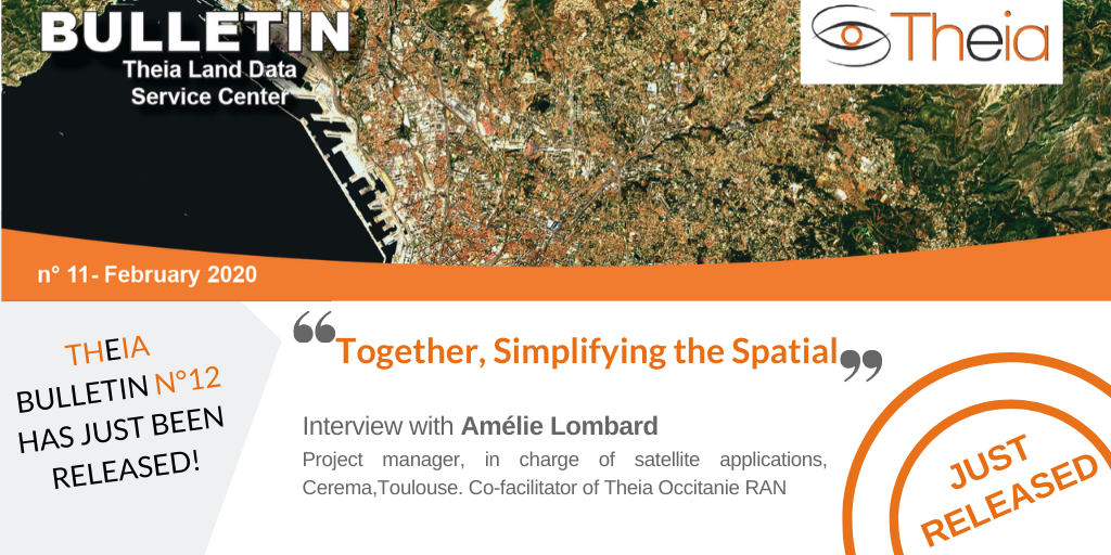
Amélie Lombard, project manager at Cerema, facilitator of Applisat and co-facilitator of Occitanie RAN shares the reasons for her involvement in Theia
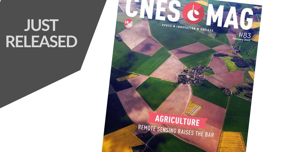
The last CNES MAG issue offers a good overview of the contribution of remote sensing for agriculture.