Catalonia: three years of Soil Moisture with very high spatial resolution
The soil moisture collection for Catalonia now offers 231 maps between September 2017 and December 2019.
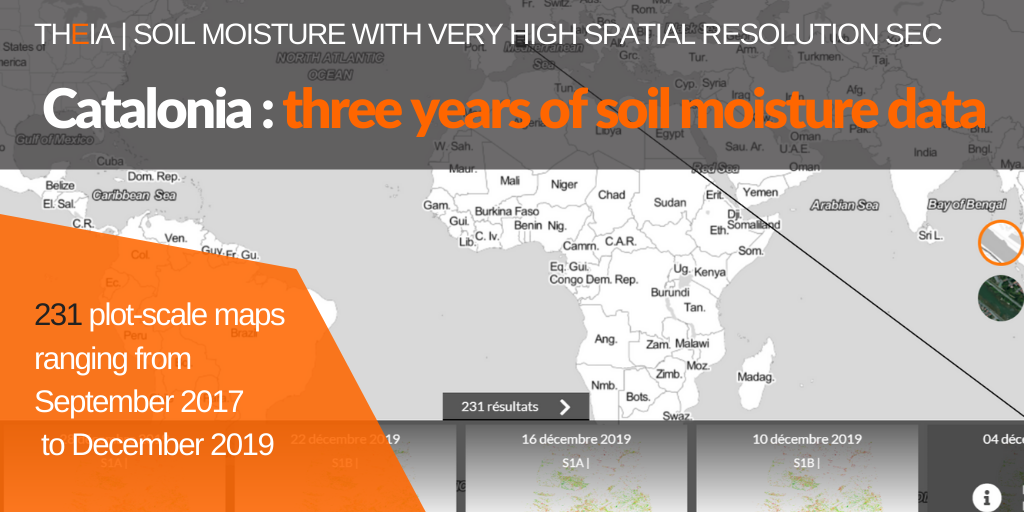
The soil moisture collection for Catalonia now offers 231 maps between September 2017 and December 2019.
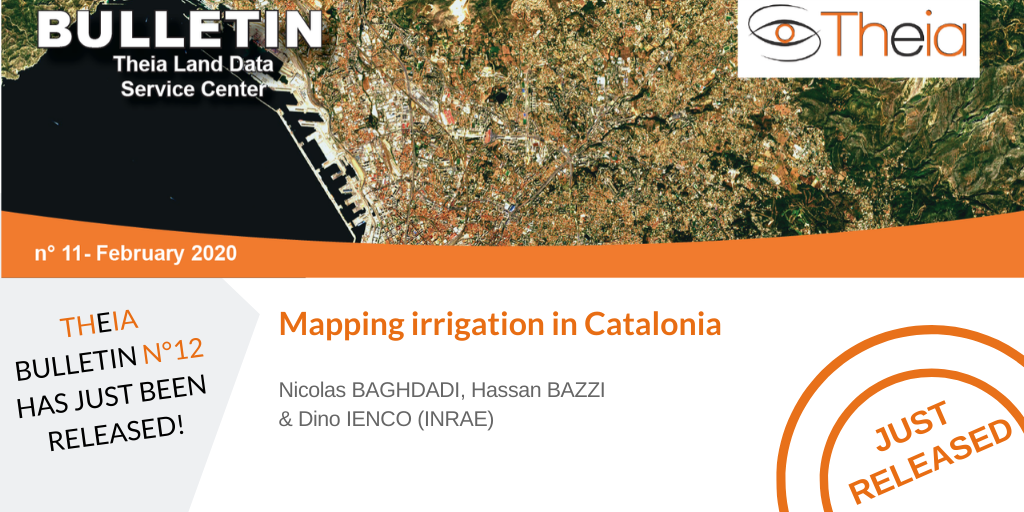
Theia Irrigation SEC proposes a large-scale mapping of irrigated plots in Catalonia.
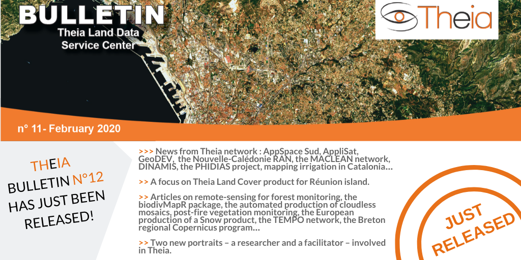
Discover the content of Theia Bulletin n°12.
A focus on Samuel Alleaume & Sandra Luques research representing both Theia Variables for Biodiversity and Landscape SECs.
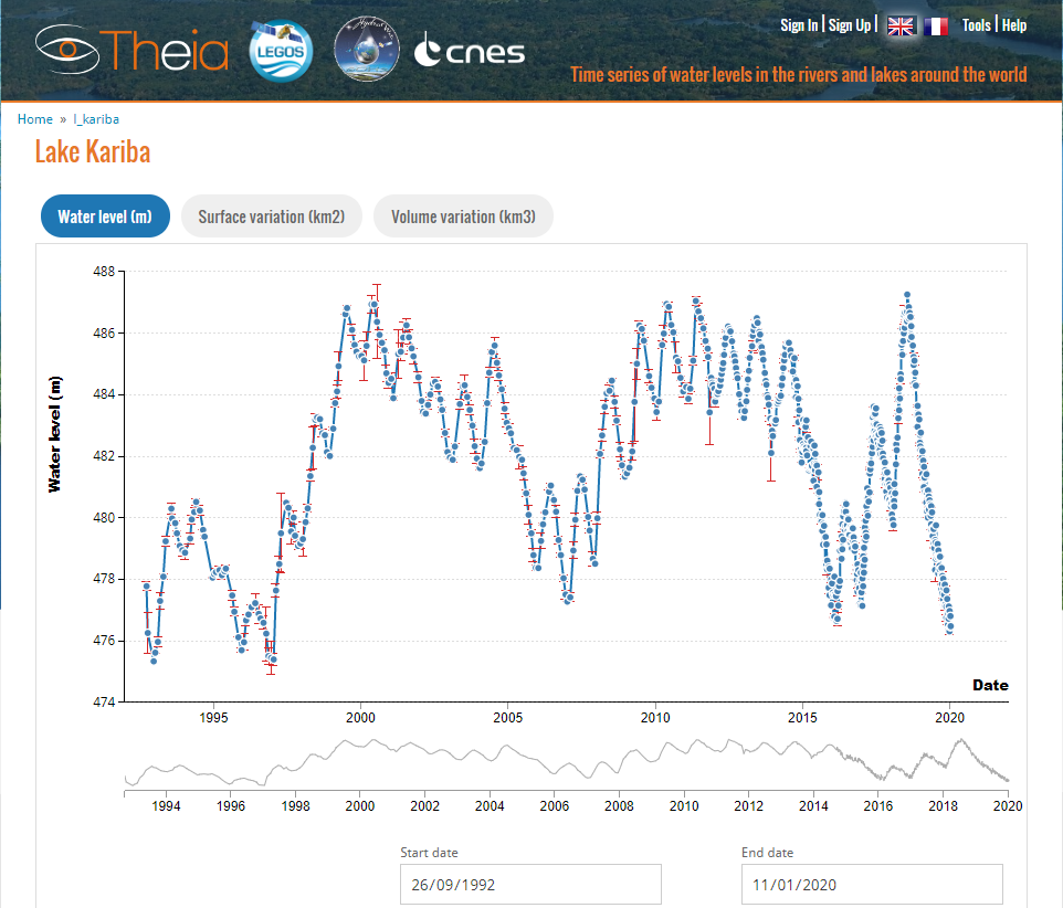
The Aviso website supported by the CNES chose in January to report on the evolution of Lake Kariba, on the border of Zambia and Zimbabwe, revealing the drought that southern […]
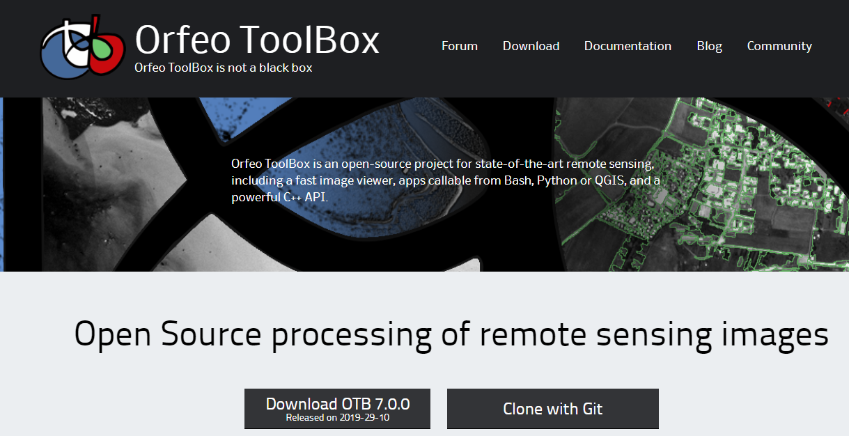
Orfeo ToolBox 7.0 is available for download. Discover new applications, fixed bugs, and python bindings even more convenient to use!
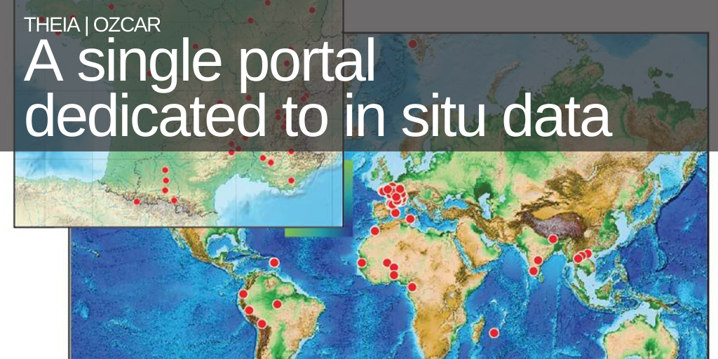
Focus on Theia|Ozcar IS, a unique portal project dedicated to in situ observation data.
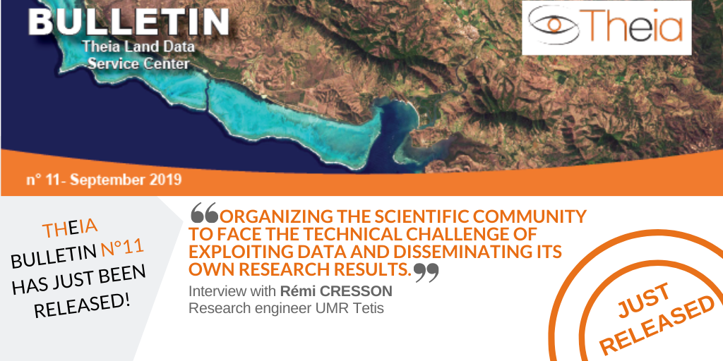
Rémi Cresson, contributor to two Theia SECs, tells us the reasons for his commitment and his vision of the challenges ahead.
Anne Puissant shares the reasons for her multiple involvement in Theia and gives us her vision of where the future lies in urban remote-sensing.