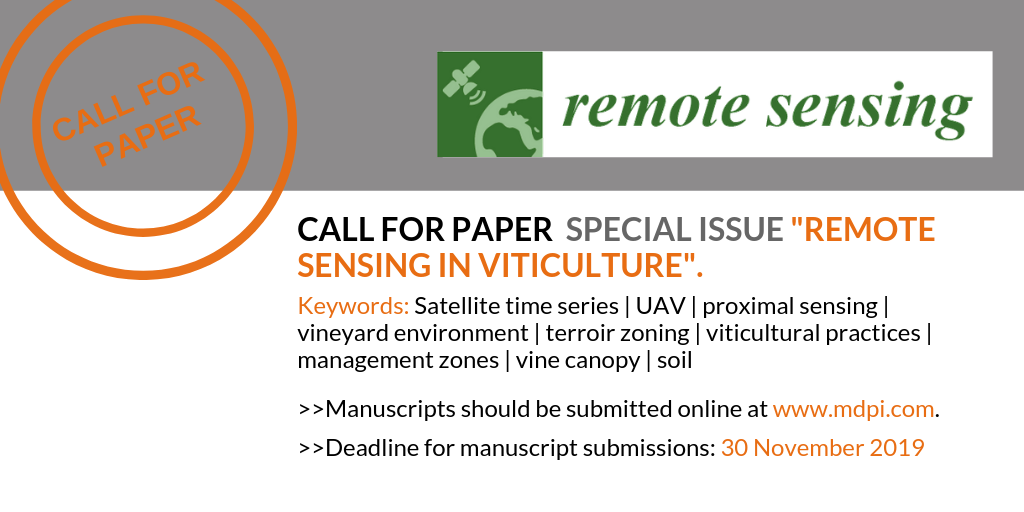
Call for Paper Special Issue “Remote Sensing in Viticulture”
Submit before November 30 and contribute to the special issue on Remote Sensing and Viticulture
Submit before November 30 and contribute to the special issue on Remote Sensing and Viticulture
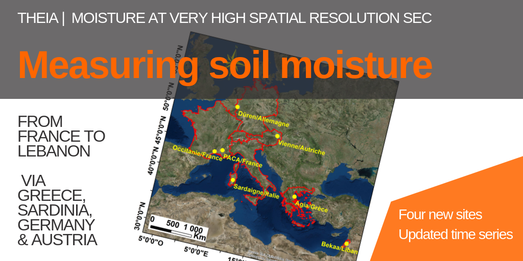
After Occitania and PACA in France and the Bekaa plain in Lebanon, the very high spatial resolution soil moisture product targeted four other sites.
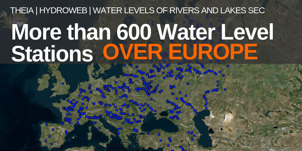
Thanks to massive identification of the Jason-3 and Sentinel-3A passes over European rivers and lakes, a large set of 600 water level stations is now defined for Europe.
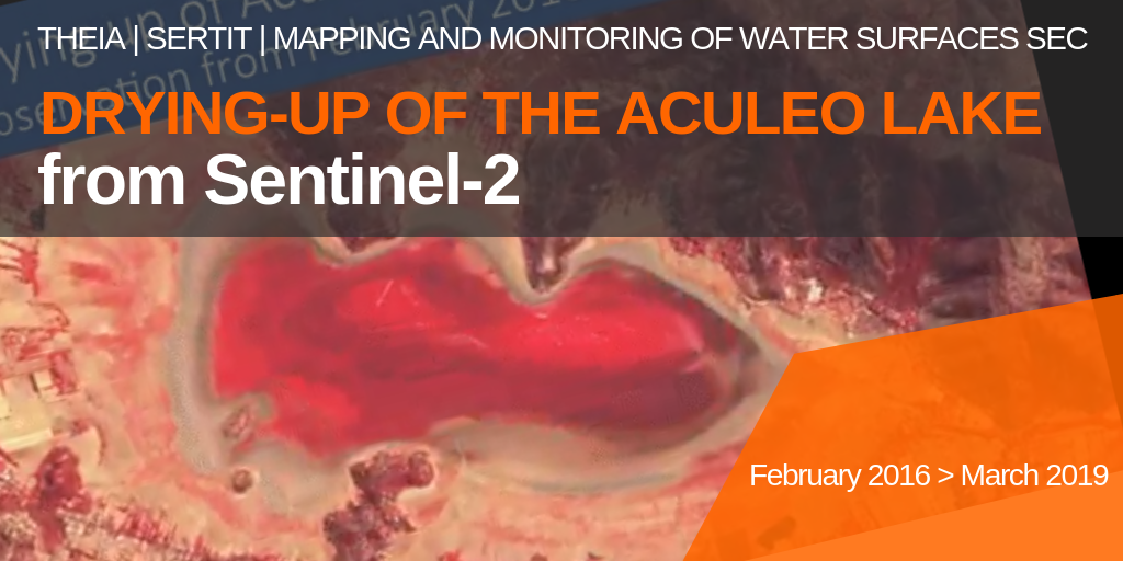
Using Sentinel-2 data the SERTIT team documented the gradual disappearance of Lake Aculeo, near Santiago, Chile, between February 2016 and March 2019.
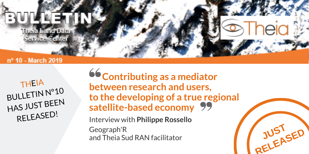
Philippe Rossello, Director of Geograph’R and co-facilitator of Sud RAN, gives us his vision of mediation between researchers and users of spatial data and animation in the region.

Olivier Hagolle, researcher at Cesbio and facilitator of the Surface Reflectance SEC, describes the reasons for his involvement in Theia and the links with his research.
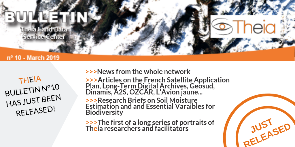
Read Bulletin 10.
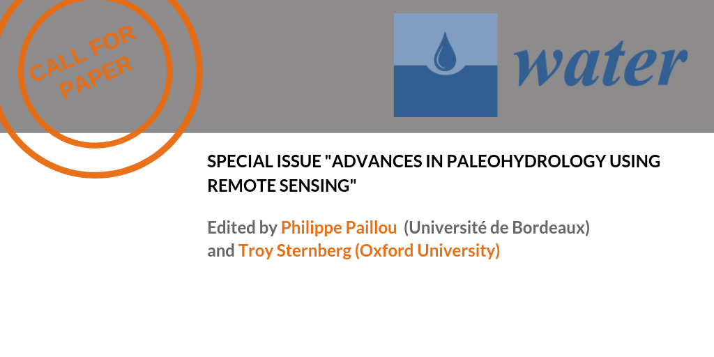
Submit and contribute to the coming special issue in Water on Paleohydrology using Remote-Sensing, edited by Philippe Paillou and Troy Sternberg. “Paleohydrology is concerned with the study of past hydrologic […]
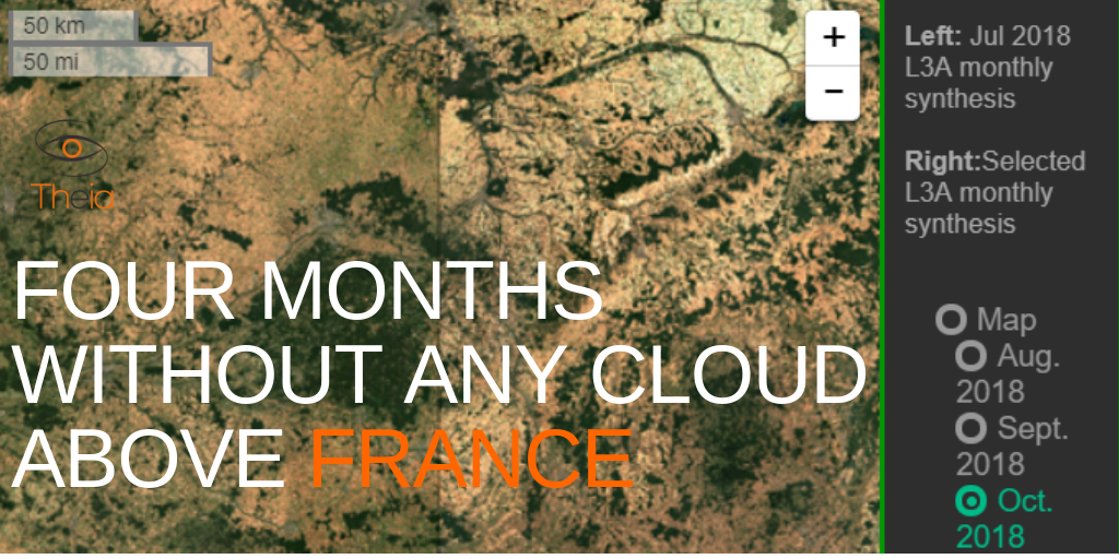
Theia Surface reflectance SEC and Cnes keep on with the monthly production of Sentinel-2 L3A composites without cloud for the French territory. Data are now available for July, August, September, and October 2018, allowing observers to […]