Data Terra
“What motivates my interest in THEIA, but also in the very idea of data consortia, are the ever-changing activities and the associated challenges.”
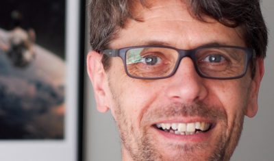
Arnaud Sellé, CNES-Partner Interoperability Manager for DINAMIS, Theia & ForM@Ter, gives us his vision of Theia contributions and challenges.
Softwares & algorithmes
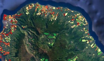
ALBOMAURICE: a predictive model for mapping Aedes albopictus mosquito populations in Mauritius
Software to simulate the population dynamics of the tiger mosquito, Aedes albopictus, in Mauritius.
Softwares & algorithmes
ALBORUN | Model of Aedes albopictus mosquito population dynamics, Reunion Island
Software enabling to simulate the population dynamics for tiger mosquito, Aedes albopictus, Reunion Island
Publications
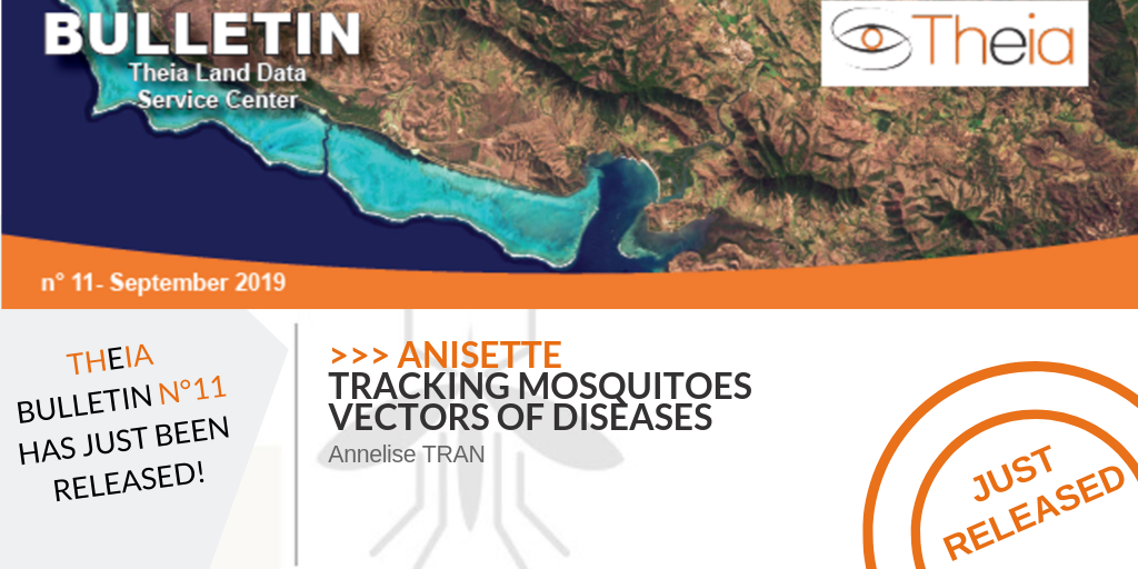
ANISETTE: tracking mosquitoes vectors of diseases
ANISETTE is the new project developed by the Theia Risks Associated with Infectious Diseases SEC
Softwares & algorithmes
ARBOCARTO | Predictive mapping tool for Aedes vector population densities
Software able simulate the population dynamics of Aedes albopictus and Aedes aegypti.
Products
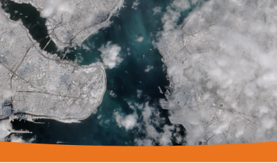
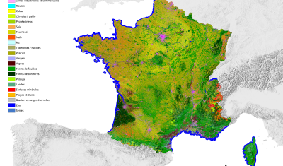
Cambodia, Thailand, Laos Land cover maps for the study of health-environment relationships
Land cover maps focusing on the relationship between health and the environment, intended to contribute to the dissemination of information on epidemiological risks related to infectious diseases to public health actors.
Variables & products
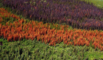
Changes and Health of Temperate Forests
Theia ‘Changes and Health of Temperate Forests’experts group brings together engineers, researchers and stakeholders from the forestry sector, in order to develop and implement methods and tools based on remote sensing data to improve silvicultural and sylvo-sanitary monitoring and the sustainable management of temperate forests, in a context where the pressure factors on these ecosystems are increasingly more numerous in France, in Europe, and throughout the world.
Prototyping SEC
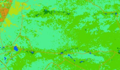
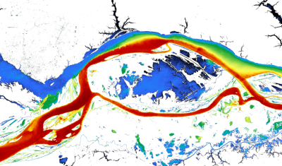
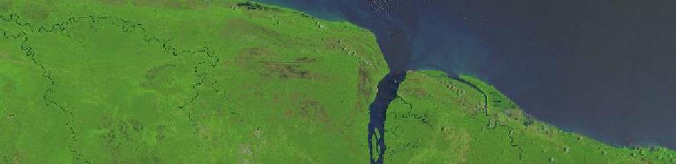
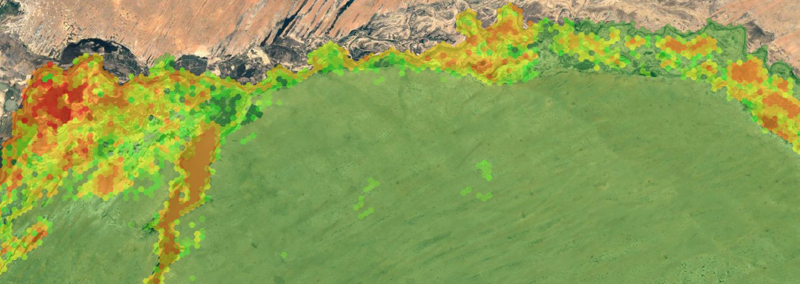
Colours of the continental waters SEC
Assessing the concentration of suspended solids and chlorophyll-a in surface waters of rivers, lakes or estuaries.

User services
Data services designed for producers & users
Theia Data Services including on-deland comuting and several thematic softwares and tools
Softwares & algorithmes
Fototex
FOTOTEX, developed within Theia Risks Associated with Infectious Disease Risks and Urban SECs, proposes a unique, rapid and unsupervised method for characterising urban areas at three overlapping scales.
Publications
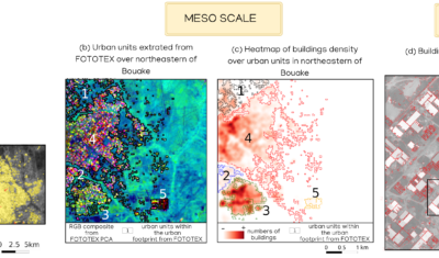
FOTOTEX: An Unsupervised Method for Urban Areas
FOTOTEX, developed within Theia Risks Associated with Infectious Disease Risks and Urban SECs, proposes a unique, rapid and unsupervised method for characterising urban areas at three overlapping scales.
Publications
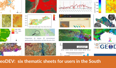
GeoDEV: six thematic sheets for users in the South
Theia GeoDEV RAN proposes thematic sheets with Southern users’ needs in mind.
Health
Identifying and mapping environmental factors favourable to the emergence, spread and persistence of diseases.
Publications
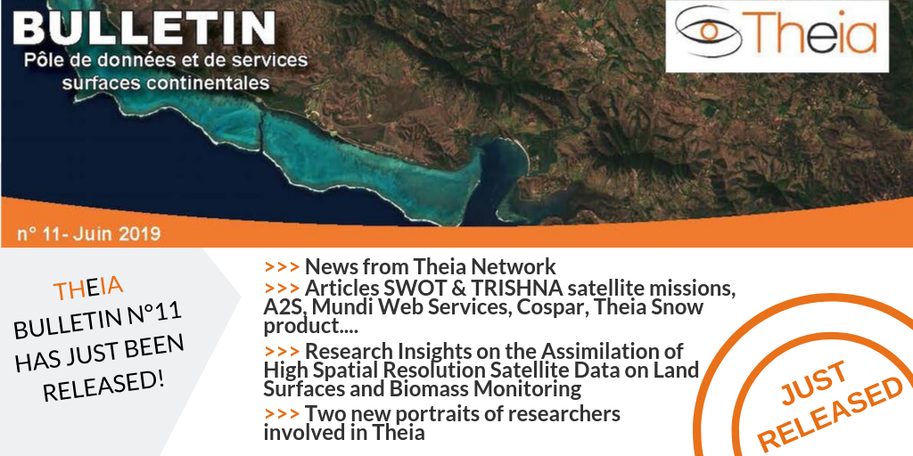
Just Released: Theia Bulletin n°15
Read the new Theia Bulletin with all the network news, a selection of focuses on products and much more.
Products
Landsat Surface Reflectance
Data at 30-meter resolution for 30 years, on all land surfaces with a repeatability of 16 days.
Incubating SEC
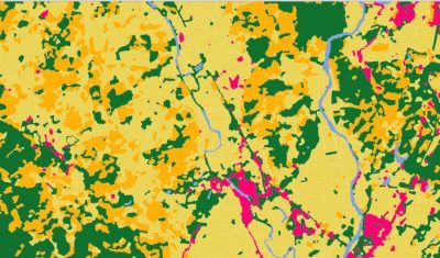
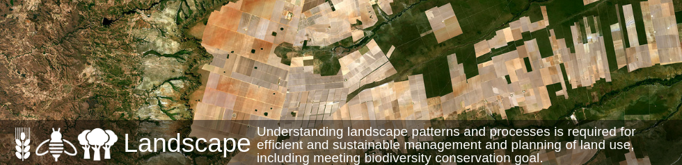
Landscape SEC
Understanding landscape patterns for efficient and sustainable management and planning
Products
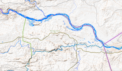
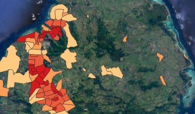
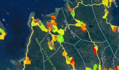
Map of rat fleas distribution, Reunion Island
Mapping of the distribution of Xenopsylla flea vectors of murine typhus, Reunion Island.

Producing SEC
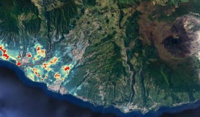
Risks associated with infectious diseases SEC
Developing transmission risk maps for the various infectious diseases, vector-borne or otherwise, using Earth Observation data.
Publications
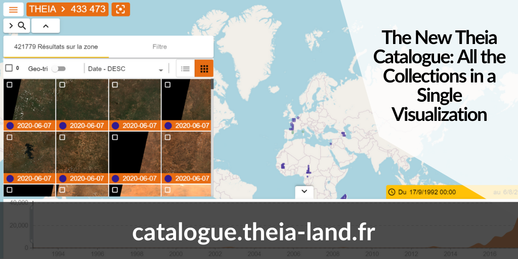
The New Theia Catalogue: All the Collections in a Single Visualization
Discover the new Theia catalogue offering a centralised access to SECs products as well as advances search functions and image visualisation tools.

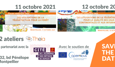
Theia Forest and Water Quality Workshops
Theia organized two thematic workshops in October, focusing on applied products for the monitoring of Forests and Water Quality.

Agenda
Theia programme at Living Planet Symposium
Go to Bonn with Theia’s Living Planet programme in your pocket!
SCO
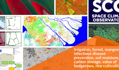
Theia projects with the SCO label: an ever-growing list
Irrigation, forest, mangrove, infectious disease prevention, soil moisture, carbon storage, value of hedgerows, rice cultivation… Update of SCO projects related to Theia SECs and RANs.
Prototyping SEC
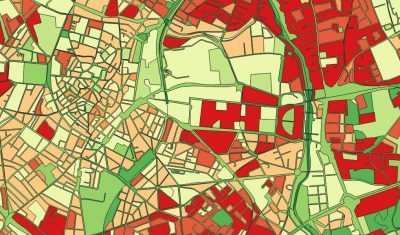
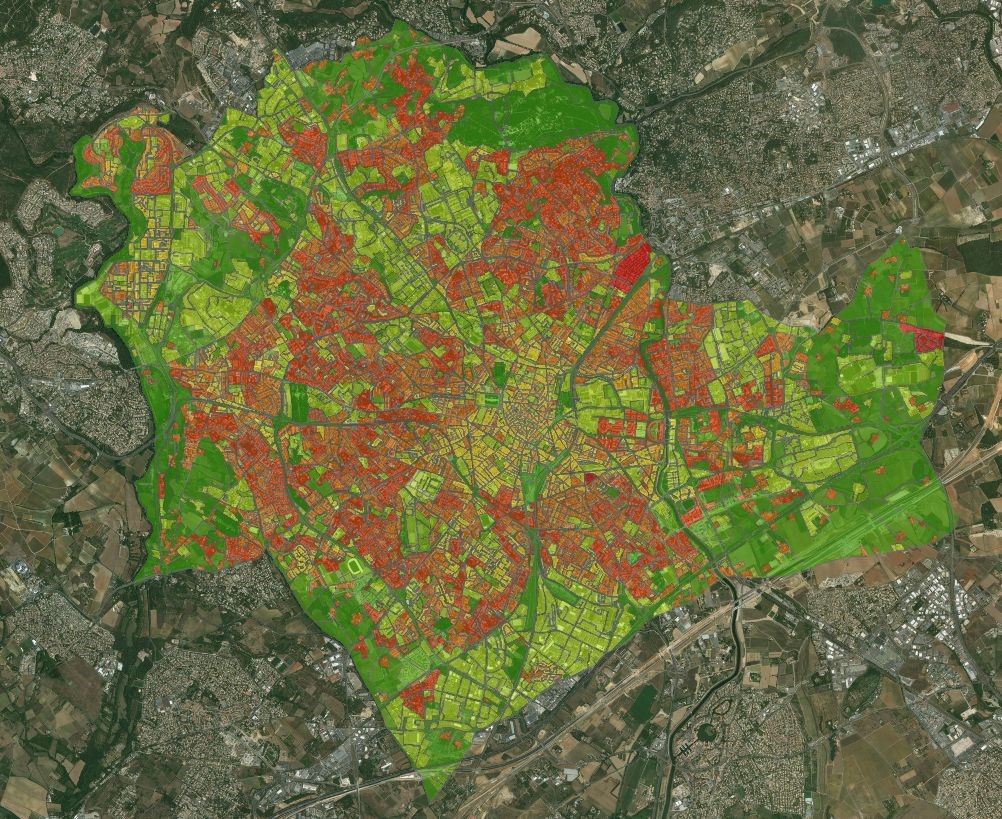
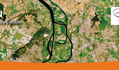
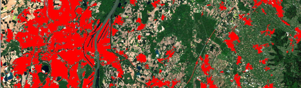
Urban SEC
Mapping artificialized surfaces, urban fabrics, urban vegetation, changes and indicators.
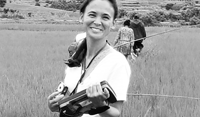
Data Terra
Using satellite imagery to establish a link between the environment, the habitats that are favourable to these species, and the human and animal populations at risk
Annelise TRAN, CIRAD researcher and THEIA Risks associated with Infectious Diseases SEC, shares her vision of Theia consortium, its achievements as well as the challenges ahead.