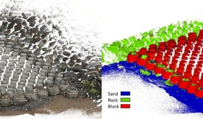
clASpy_T : a 3D point cloud classification tool for estuary monitoring
The THEIA portfolio of Lidar data processing tools has been extended with a new software tool for creating 3D point cloud classification models using machine learning: cLASpy_T cLASpy_T aims to […]