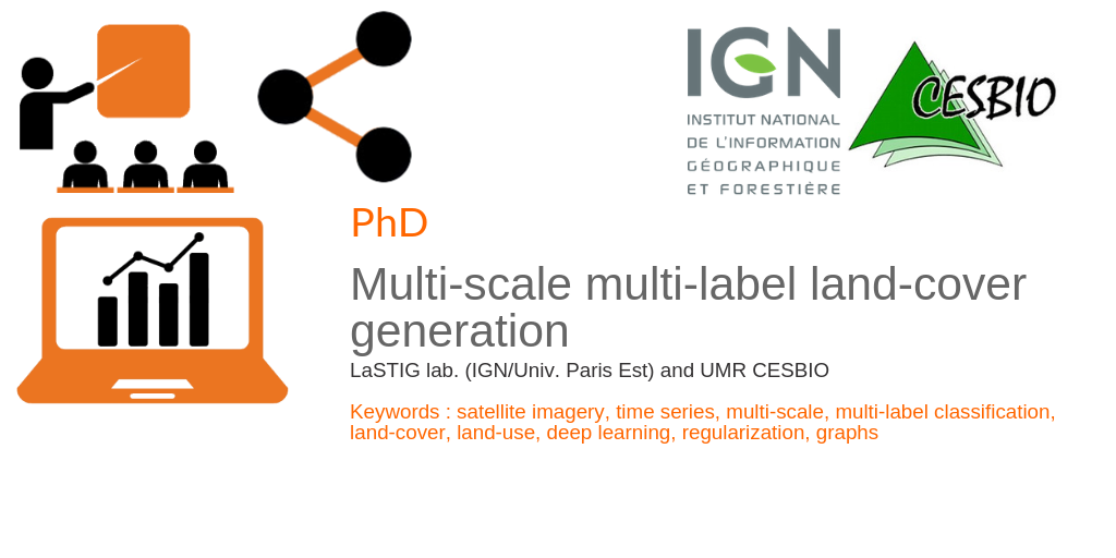
Multi-scale multi-label land-cover generation
IGN and CESBIO as part of the Maestria project (Multi-modAl Earth obServaTion Image Analysis) are proposing a joint PhD thesis on the subject “multi-scale multi-label land-cover generation”.
The PhD student will be jointly supervised by the LaSTIG lab. (Clément Mallet – Arnaud Le Bris) and UMR CESBIO (Jordi Inglada). The student will be mainly located in IGN (close to Paris, France) with frequent stays in Toulouse (France).
Objectives
The MAESTRIA project will first generate various land-cover maps at large-scales using novel approaches in multi-modal data fusion and semi-supervised learning. These maps will be generated with reduced delays and enriched semantics compared to existing solutions. However, they will still exhibit rigid sets of classes and spatial resolution.
This PhD thesis work aims to alleviate this issue, bringing more flexibility by automatically deriving new products to answer various case studies.
The goal here is to develop methods to derive automatically new land-cover products with different spatial and semantic resolutions out of those produced before. As a consequence, we target to obtain a continuum of adapted land-cover layers, both in terms of spatial scales (2 → 50-100m) and semantics.
How to apply ?
A single PDF file should be sent to clement.mallet@ign.fr. It must include :
- A CV ;
- A motivation letter, tailored for this subject ;
- If possible, recommendation letters.

Clément Mallet
IGN
ResearchGate