A new GeoDEV website, with resources tailored to your profile
The website of the ART GeoDEV, the Theia Regional Animation network that CIRAD, IRD and CNES have been leading since 2017 in the direction of Southern countries, is evolving to […]
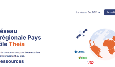
The website of the ART GeoDEV, the Theia Regional Animation network that CIRAD, IRD and CNES have been leading since 2017 in the direction of Southern countries, is evolving to […]
Various processing software as well as modelling and mapping tools designed for thematic applications by Theia’s SECs.
The course will start on September 16th 2019. Enroll now.
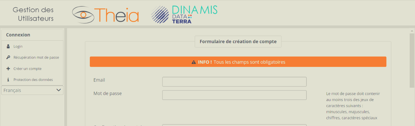
5 steps to create a Theia account
The PEPS Sentinel products exploitation platform is designed to offer innovative services for accessing Sentinel mission data under the European Copernicus programme to institutional users, scientists and industry. By redistributing […]

Series of books “QGIS in remote sensing”aims to facilitate the appropriation and operational use of the Quantum Geographic Information System (QGIS) software in the field of remote sensing. This series […]

Series of books on remote sensing applied to continental surfaces are available in english and french version from ISTE-Elsevier editions. This series is designed for those who wish to discover […]
A selection of teaching material related to remote-sensing and Earth observation.
Meeting the scientific community and users’ needs, Theia offers a regional animation and tools.