PhD & PostDoc

[PhD] Spatio-temporal dynamics of suspended particulate matter in the estuary/coastal sea continuum

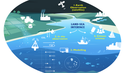
Thesis project aiming to integrate and interact high-frequency in situ data (COAST-HF, SYNAPSES) with water color satellite data (Sentinel 2/3 – Landsat – MODIS) to enhance our understanding of the land-sea interface.

23.04.2024

[Thesis] Water quality variability by multi-sensors remote sensing in an Inland water/estuarine/deltaic environments.

The Laboratory of Oceanography and Geoscience (LOG) of the University of Littoral Côte d’Opale (ULCO) is looking for a PhD candidate on the topic of water quality variability by multi-sensor […]

17.04.2023

Internal Research Fellow in EO for Earth System Science

Description You will report to the Head of the Science Section in the Data Applications Division, Science, Applications and Climate Department, Directorate of Earth Observation Programmes. You will carry out […]

20.01.2022

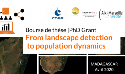
[PhD grant] From Landscape detection to population dynamics

CNES is offering a PhD grant for a project aiming to improve knowledge of human population dynamics in rural areas through the recognition of landscape indicators derived from high-resolution image processing.

13.01.2022

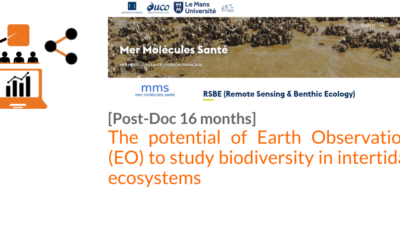
[POSTDOC]THE POTENTIAL OF EARTH OBSERVATION (EO) TO STUDY BIODIVERSITY IN INTERTIDAL ECOSYSTEMS

Postdoc position in Remote Sensing & Benthic Ecology, University of Nantes (France) The position is for 16 months, and should start in January 2022. Summary The postdoc will work on […]

13.10.2021

[POST-DOC] INFORMATION CONTENT OF REMOTE SENSING SOIL MOISTURE RETRIEVALS FOR WATER RESOURCES AND AGRICULTURAL MANAGEMENT

Join Rennes GeoScience and Montpellier Tetis team for a 24-months post-doc. Theia BOSCO projct related content.

10.05.2021

PHD on remote sensing for precision irrigation

IRTA and the University of Lleida propose a PhD position on the measurement of water needs for irrigation by remote sensing.

30.09.2020

2-year Post-Doctoral Position: Multi-Modal Deep Learning for the Analysis of 3D Forestry Data

3D point clouds, multispectral imagery, deep learning, segmentation, classification, forest strata, morphological descriptors.

28.09.2020

Internal Research Fellow for New Space Data Quality Assessment

Apply before July, 14th, for this ESA Post-doc.

24.06.2020

Search