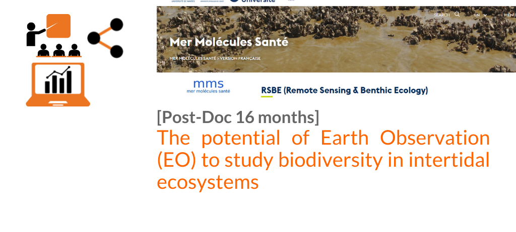
[POSTDOC]THE POTENTIAL OF EARTH OBSERVATION (EO) TO STUDY BIODIVERSITY IN INTERTIDAL ECOSYSTEMS
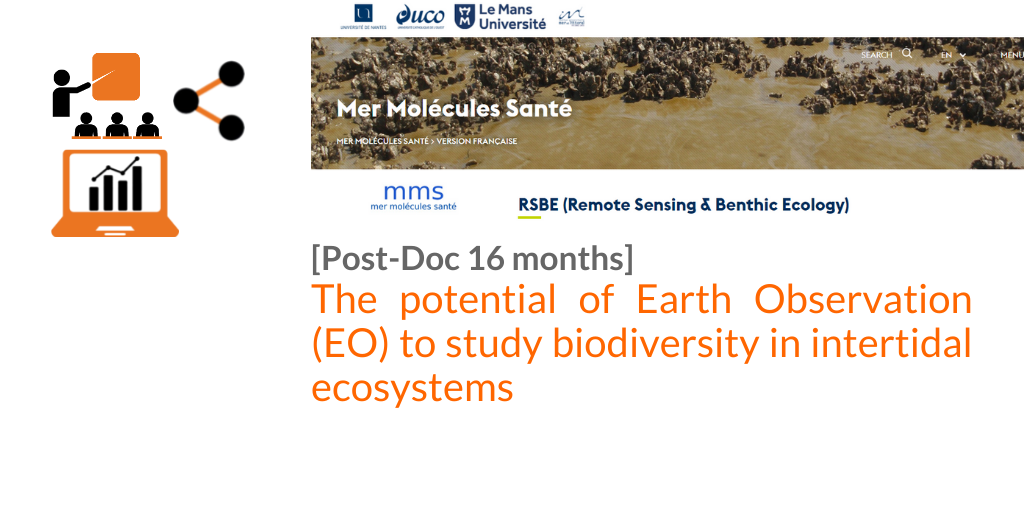
Postdoc position in Remote Sensing & Benthic Ecology, University of Nantes (France)
The position is for 16 months, and should start in January 2022.
Summary
The postdoc will work on an international research project at the interface of benthic ecology, remote sensing, and machine learning with a primary focus on biodiversity.
The objective of the job is to demonstrate the potential of Earth Observation (EO) to study biodiversity in intertidal ecosystems, with a focus on sediment shores (beaches, estuaries, mudflats, and isolated rocky areas). The essential biodiversity variables (EBVs 1) of the main intertidal habitats (seagrass, microphytobenthos, macroalgae, oysters reef, and polychaetes reef) will be characterized in several study sites along the French Atlantic coast, in order to
investigate the effects of climate change, human impacts and natural drivers on the coastal zone.
Material and methods
The postdoc will analyse a hyperspectral reflectance library of intertidal primary producers and habitats, and will be in charge of building the spectral database, acquiring ad hoc field data in 2022, and compiling data available in the literature. The postdoc will investigate a variety of methods, from baseline radiometric indices to Machine Learning type classification to identify intertidal vegetation and main habitats from in situ and satellite radiometric, texture, and SAR data. In particular, the potential of on-going satellite missions, including Sentinel-2, VENuS, and DESIS should be assessed. The postdoc will validate the algorithms over several pilot sites in Europe (France, Portugal, Germany), and use satellite time-series to study the influence of environmental drivers on intertidal EBVs.
Eligibility
A PhD degree in Environmental Sciences, Oceanography, Marine ecology, Remote Sensing, or a related field is required to be completed prior to starting the position. Graduate students close to defending their dissertation and/or current postdocs looking for a new opportunity are both encouraged to apply.
- A strong background in marine ecology and remote sensing is required.
- Experience using Earth Observation data.
- Proficiency with R, Python, or equivalent data processing software, and ability to produce well-designed and documented code.
- Documented experience with writing manuscripts for peer-reviewed journal publications, and presenting work at international conferences.
The following skills would also be beneficial
- Experience in Deep Learning / Machine Learning applied to environmental sciences.
- Sufficient numerical ability to understand some fundamental theory behind deep learning algorithms. Strong statistical skills are particularly relevant.
- Experience in the ecology and biodiversity of benthic primary producers.
- Ability for field sampling in challenging environments such as intertidal mudflats.
- Experience in field radiometry.
- Experience in hyperspectral remote sensing.
- Experience in EU projects, including writing project deliverables.
Salary
Net monthly salary 2250 EUROS, including health insurance and social benefits.
Nantes
The city of Nantes has a reputation for offering a high quality of life. It has retained a strong
historical and cultural heritage, and is often referred to as one of the best places to live in France.
Access to culture is often free or inexpensive. The practice of two sports at the university costs
only 60 euros per year.
Description of the supervising team
University of Nantes (UN) is a Higher education institution. Within the University, the team Remote Sensing and Benthic Ecology (https://mms.univ-nantes.fr/fr/rsbe-remote-sensingbenthic-ecology) is recognized for its scientific expertise in benthic ecology. The team has developed a strong expertise in visible near infrared remote sensing applied to coastal areas, with a focus on intertidal zones dominated by sediment shores and colonized by benthic microalgae, macroalgae, and biogenic reefs (wild oysters, polychaetes). The team has been recently participating to an EU H2020 project on seagrass remote sensing (CoastObs, 2017 –2021, https://coastobs.eu/) and in a EU BiodivERsA project on microphytobenthos diversityand ecology (BIO-Tide, 2017 – 2020, https://sites.google.com/view/biotide).
Facilities
The university is equipped for environmental monitoring of the water column, sediment, vegetation, and invertebrates physiology. Main equipment is spectrophotometer, HPLC, laser granulometer, particles counter, electron scanning microscope, mass spectrometry. Facilities specific to the research group: optical instrumentation (field hand-held hyperspectral spectroradiometer, PAM, hyperspectral camera), and a culture collection of benthic microalgae. The
team has been recently equipped with an unmanned airborne vehicle (UAV) carrying a multispectral camera MicaSense dual sensors MX (S2-like 10 spectral bands in VIS and NIR) for very high-precision mapping.
How to apply
An email with following materials
- CV including a list of publications,
- Cover letter with a brief description of present and future research interests,
- A list of two references and their contact information,
should be sent to:
Dr. Pierre Gernez at pierre.gernez@univ-nantes.fr
Prof. Laurent Barillé at laurent.barille@univ-nantes.fr