
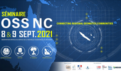
OSS-NC 21: Connecting Regional Geomatics Communities in Pacific
Learn more on the coming New Caledonian event and its relevance for the Remote-Sensing Pacific Community at large
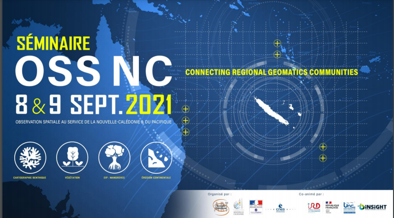
Theia Geodev Nouvelle-Calédonie Regional Animation Network (RAN) is one of the organisers of the geomatics event for New Caledonia “Observation spatiale au service de la Nouvelle-Calédonie – OSS-NC” which will take place in Nouméa the 7,8 & 9 September 2021.
2021 edition wants to replace the NC geomatics community in its regional environment, with the view to enhance synergies with regional organisations operating on earth observation and with other geomatics communities in Pacific islands states and French Pacific Territories. Therefore, a first regional plenary session will take place, allowing various regional E.O actors to interact and present key regional initiatives in the field. This session will be held in visio-conference with bilingual translation between English and French.
4 thematic workshops will follow, targeting French Pacific territories :
All this will lead to the drafting of actions plans addressing EO needs across French Pacific territories.
Last but not least, an introductory session will be organized on 7 September to provide a brief overview on EO to any interested public. This session will be designed to meet the needs of stakeholders and operational managers of NC provinces and communes. This session is also open to students.
On the programme, Marie Weiss (INRAE), co-facilitator of the Vegetation Biophysical Variables Vegetation SEC, will speak on Indices applicable to vegetation (Wednesday 8 September) and a side-event dedicated to image acquisition using the DINAMIS system (Tuesday 7 September).
Learn more on the coming New Caledonian event and its relevance for the Remote-Sensing Pacific Community at large
Jean Massenet, CEO of Insight SAS and co-facilitator of the GeoDEV New Caledonia RAN, explains his vision of animation and mediation for the promotion of the uses of space. Read also a review of the OSS-NC 2020 event dedicated to New Caledonian satellites.
Read Theia Bulletin n°14 and all the news from the network.
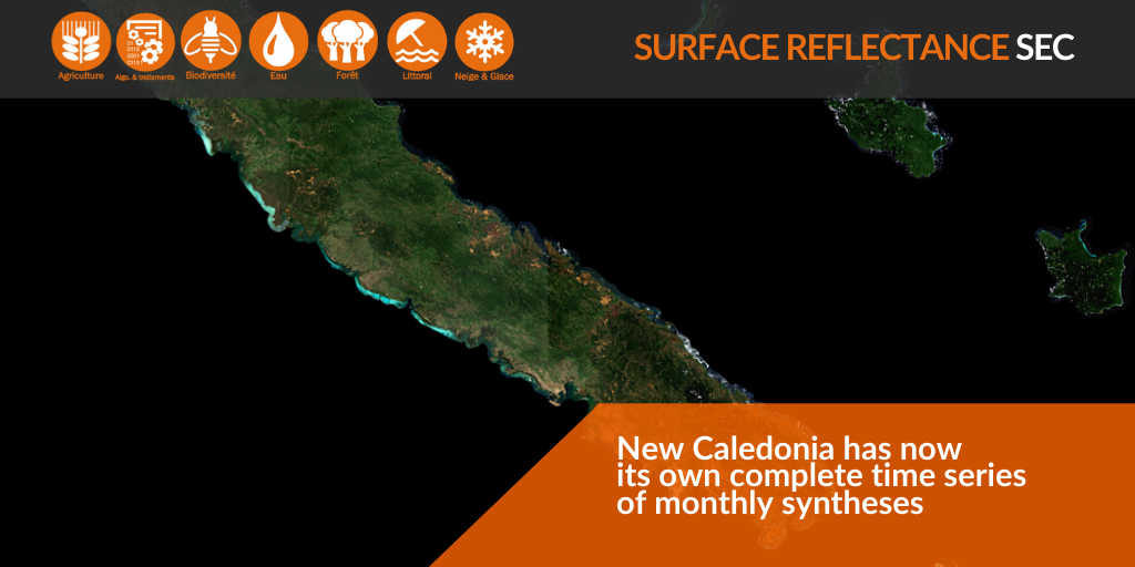
Surface Reflectance monthly syntheses for New Caledonia since July 2017 are now available!
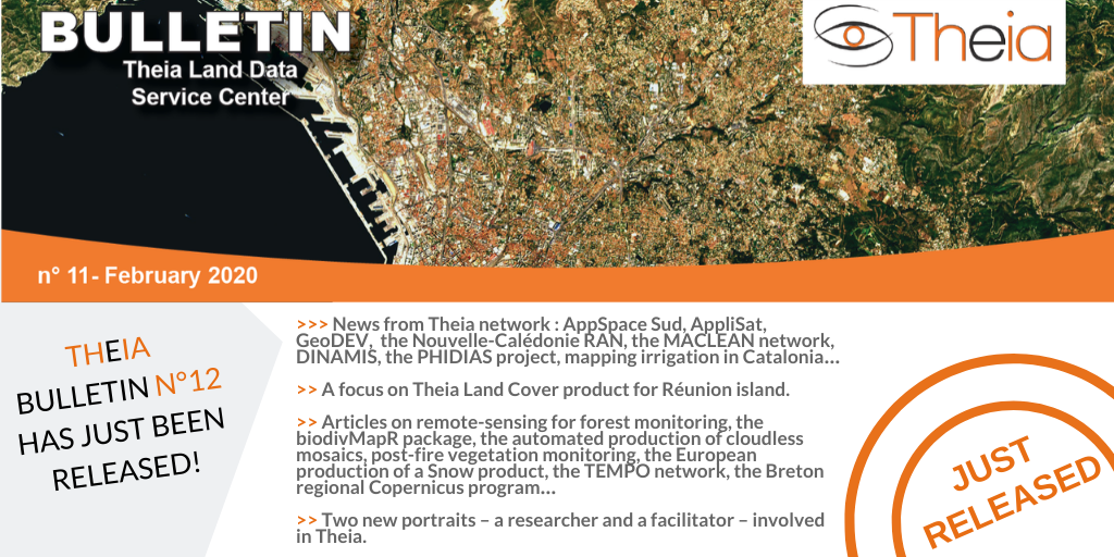
Discover the content of Theia Bulletin n°12.
Read all the news from Theia network.
Theia 9th RAN is dedicated to the specific needs of the satellite community in New Caledonia.