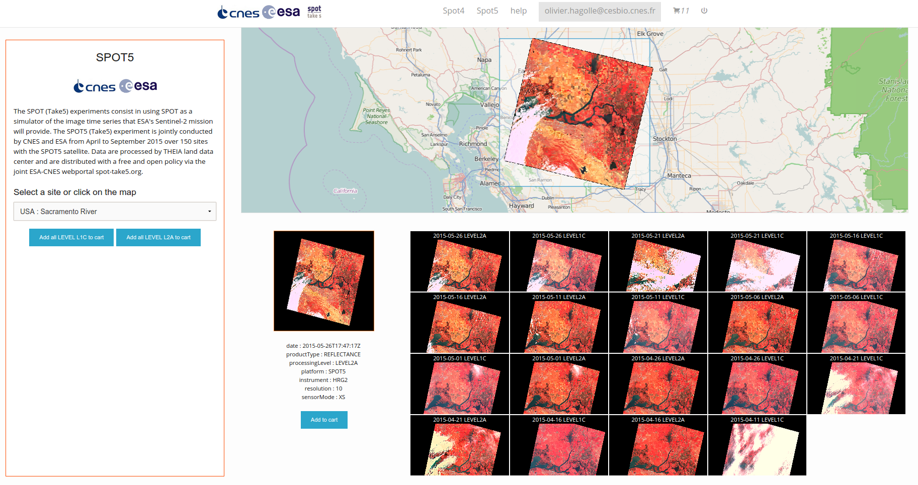
Release of SPOT5-Take5 data
ESA and CNES just announced that the data from the SPOT (Take5) experiment acquired until the 3rd of June have been released. These data acquired over 150 sites, are aimed at helping users get familiar with high resolution time series with characteristics similar to those of the just launched Sentinel-2.
The SPOT5 (Take5) campaign started on teh 8th of April, and will last until the 8th of September. Sentinel-2A acquisition should take over after the end of the SPOT5 (Take5) campaign.
Two levels of products are provided :
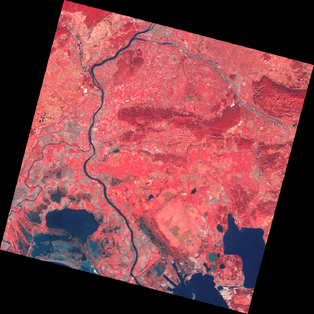
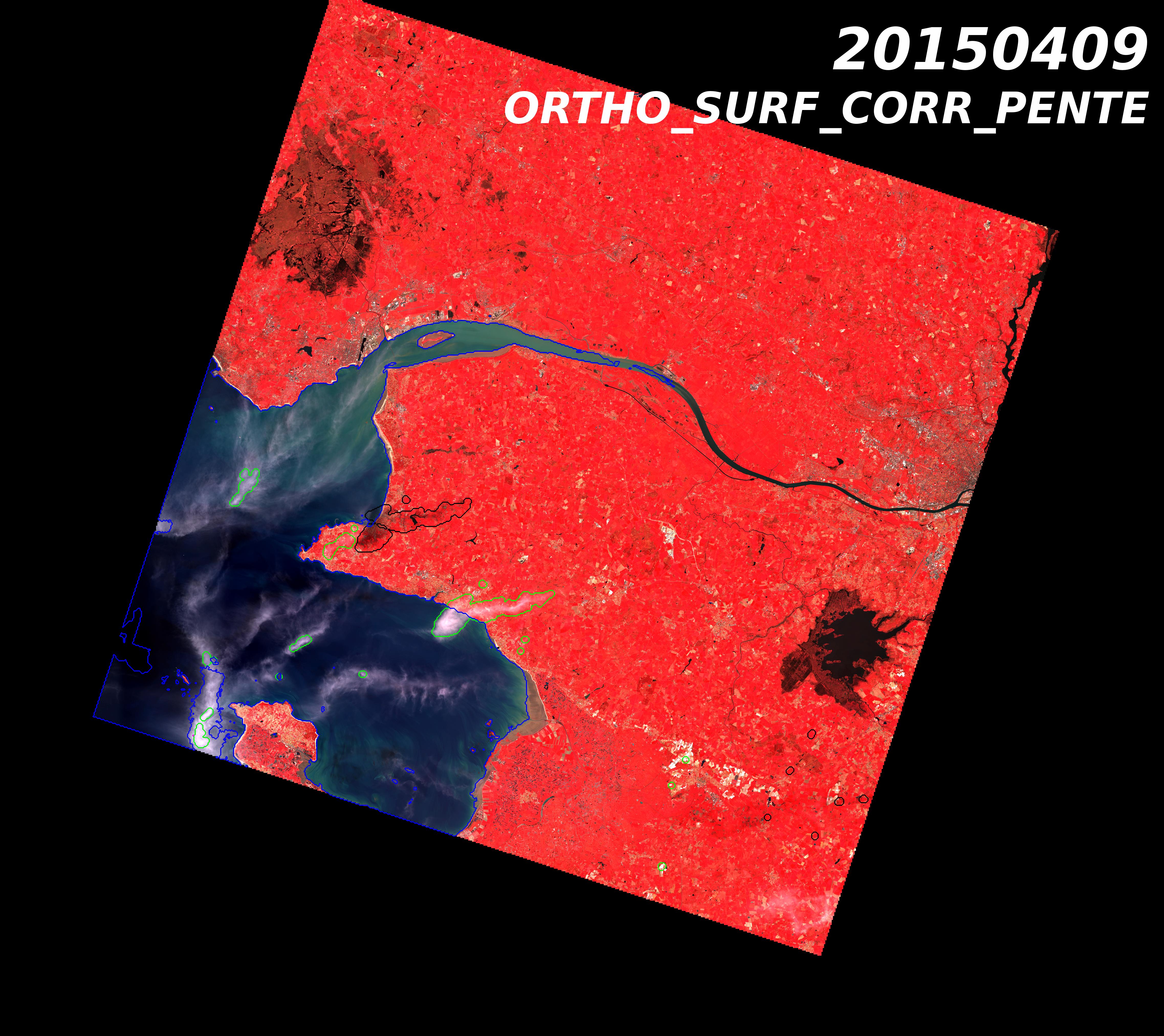
– Level 1C : Ortho-rectified images expressed in top of atmosphere reflectance
– Level 2A : Ortho-rectified images expressed in surface reflectance with a cloud and cloud shadow mask
The data are processed by the MUSCATE prototype ground segment at CNES in the the framework of THEIA, the level 1C processor was developped by CNES, while the level 2A processor was developped by CESBIO. The data are available on this site : https://spot-take5.org
The file format for both Level 1C and Level 2A is detailed here : https://labo.obs-mip.fr/multitemp/?page_id=1822
Some explanations on how the distribution server works are available here : https://labo.obs-mip.fr/multitemp/?p=5250