Challenges

Knowing as much as possible about natural and manmade hazards and how to mitigate their effects is a major challenge to society worldwide. Modern society is less and less prepared to take risks due to the human and financial cost involved. We seek to identify, prevent or mitigate risks. It is worthwhile remembering the distinction between natural hazards, which are geophysical or hydro-meterological events such as flooding or earthquakes, and natural disasters, which assume the interaction of natural hazards and social systems.
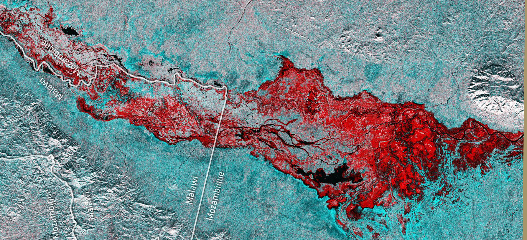
Natural phenomena may thus be of a hydro-meteorological nature (gales, flooding, cold spells, heatwaves, violent storms, avalanches etc.) or a geological nature (earthquakes, volcanic activity including associated flooding, tidal waves or tsunamis but also soil movements, landslides, subsidence or the expansion and retraction of clay soils). The knowledge, perception and impact of natural hazards and associated disasters vary according to the continent, soil, sub-soil, relief and climate. A natural hazard results from the conjunction of a natural phenomenon (hazard) and the presence of vulnerable goods or activities. The impact of a disaster may closely depend on the density of the population and rate and type of urbanisation or even environmental challenges. Two societies may be similarly exposed to a natural hazard but have a different degree of vulnerability to resulting damage.
Several disasters these past few years have left a deep impression:
- the Indonesian tsunami in December 2004 which affected all the coastal area around the Indian Ocean, from Africa’s eastern coastline to Indonesia, causing over 250,000 deaths;
- hurricane Katrina which hit the Louisiana coastline, causing massive flooding in New Orleans on 29 August 2005;
- the Chengdu earthquake in May 2008 in the province of Sichuan (North West China), causing the loss of over 90,000 lives;
- the devastating earthquake in Haiti on 12 January 2010 which ravaged the poorest country in the American continent, causing between 100,000 and 160,000 deaths and making 1.5 million people homeless;
- the magnitude 9 earthquake of Tohoku on 11 March 2012, causing a huge tsunami that devastated the eastern coastline of Japan, leading to the Fukushima catastrophe;
Technological hazards are either constant or accidental hazards directly linked to human activities. Humans can make them worse by a shortsighted attitude or, on the contrary, mitigate their impact by prior security measures. These hazards can have serious consequences on human health, property and the environment.
Without going into detail about the Bhopal gas tragedy in December 1984 or Tchernobyl in April 1986, we can quote a few more recent examples. The first is the case of uncontrolled spillovers of toxic products should the retention wall break. In April 1998, for example, a 50-metre long stretch of tailings-dam dike retaining waste from a pyrite mine in Spain allowed 4 million tonnes of acid water and 3 million tonnes of slurry containing zinc, iron, copper, lead and arsenic (0.3 g/l) to flow into the water network, which in turn spilled over by 200 to 300 m along 20 km and threatened the Donana national park, jewel of European biodiversity. More recently, in 2010, the villages downstream of an alumina plant near the Hungarian village ofAjka were suddenly invaded by 700,000 m3 of very liquid, very caustic red slurry following the failure of a retention dike. This was a major ecological disaster due to its proximity to the Danube in addition to a human disaster, with the loss of nine lives and 120 injured persons.
The oceans are not exempt from disasters too, with the sinking of oil tankers such as the Exxon Valdez off Alaska in 1989, the Erika in December 1999 off the Breton coast and the Prestige off Spain in November 2002. There is also the explosion of the Deepwater Horizon oil rig in April 2010 in the Gulf of Mexico and the major pollution that followed, with its huge economic and environmental impacts.
Spacebased tools for civil protection needs
Through its Earth observation and communication capabilities, space offers important aids to decision-making and implementing public actions. As emphasised in the reports of the French Ministry of Higher Education and Research’s new SNR national research strategy group, space has become, in a matter of years, a vital factor in civil protection. The combination of satellite observation tools to foresee disasters, survey the site of a disaster, and provide communication and navigation tools for those working on the ground, considerably increases the efficiency of emergency response teams when local terrestrial resources are down. These spacebased tools are also useful in the reconstruction phase for the same reasons.
Earth observation addresses the whole crisis management cycle, i.e.:
- Prevention and preparation phase: zonation and vulnerability analysis, planning of involvement, exercises and awareness training for the general public,
- Response phase: mobilising response capabilities, mapping the hazard and damage, evaluating degradation and impact, identifying displaced populations, monitoring IDP camps, supporting emergency teams working in the field, sending information to decision-makers,
- Post-event: rehabilitating and integrating crisis risks in the development strategy to obtain long-term prevention capabilities.
For more information see “Une ambition spatiale pour l’Europe” (An ambitious space programme for Europe; SNR – Stratégie Nationale pour la Recherche)
Research issues
For all the phases of the crisis management cycle (prevention, emergency response and post-crisis feedback), Earth observation appears to be of major utility due to its overall view, its access to all points on the globe and its revisit capabilities. All the current or upcoming sensors working in different wavelengths (VIS, MIR, thermal infrared, microwaves) and particularly those with spatial resolutions between one and ten metres or so are exploited for hazard and risk management.
Research issues linked to hazards of natural or manmade origin concern the whole information processing chain, from data acquisition through to supply of the information and cover or intersect with themes in other areas of application. They include:
- methods for extracting information in 2D (using very-high-resolution data), 2.5D (temporal component) and 3D (contribution of high- and very-high-resolution digital elevation models),
- remote sensing may be used to inventory and characterise the stakes and elements at risk for both natural and/or manmade hazards,
- on the fly exploitation of Sentinel type time series,
- modelling hazards taking into consideration and/or assimilating information derived from Earth observation data.
Contact

Hervé Yesou
SERTIT
@H.Yesou
Applications
- International Charter on Space and Major Disasters website
Established in 2000 by CNES and ESA, the “Space and Major Disasters” charter regularly provides satellite imagery free of charge to countries that have suffered natural disasters to help them organise emergency response teams. To date, there are no satellites dedicated to the observation of natural disasters. Members of the international charter call upon public or government agency satellites to respond to emergency situations. Since it was first created, the Space and Major Disasters charter has contributed to rescue missions some 400 times in over 110 countries.
For more information, see www.disasterscharter.org - Copernicus EMS website
Copernic EMS – Mapping provides all those involved in managing natural disasters, manmade emergency situations and humanitarian crises with geospatial information derived from Earth observation data complemented by in situ data or open data sources.
For more information, see http://emergency.copernicus.eu/ - SERTIT website
The SERTIT rapid mapping service is operational 24/7/365 and is committed to providing a crisis map within six hours to enable decision-makers to optimise the organisation of emergency teams and logistics in the event of major crises. SERTIT has an on-call team of experienced engineers ready to intervene 7 days a week, 24 hours a day and 365 days a year in order to produce geoinformation on events in real time. The service is certified to ISO 9001, and its products may be exploited by all decision-making systems.
For more information, see http://sertit.u-strasbg.fr/RMS - The ANR national research agency’s Kal-Haiti project aims to construct and maintain a database for remote sensing and complementary data on the January 2010 earthquake and lead an associated user community. This reference infrastructure will serve as a support for research to develop analysis methods of use to the teams in charge of disaster management from forecasting through to the return to normal including resconstruction operations initiated in Haiti.
For more information, see http://kal-haiti.kalimsat.fr/spip.php?rubrique4&lang=fr - ANR-URBASIS – Urban seismology: evaluation of vulnerability and earthquake damage using innovative methods
The increase in populations concentrated in bigger and bigger cities at risk from earthquakes and in a heterogenous habitat makes the urban context one of the most critical in terms of seismic risk. It is important to investigate urban zones in order to manage, forecast and assess its vulnerability and post-earthquake damage. The variability in a structure’s response to an earthquake introduces major uncertainty when evaluating its vulnerability and when trying to predict damage in the aftermath. Seismic studies in an urban context often involve two spatial scales (the town and the building) and three time scales (before, during and after the quake).
For more information, see http://users.isterre.fr/pgueg/URBASIS/Accueil.html ou http://urbasis.osug.fr - Other websites dedicated to InSAR:
Earthquakes from above: www.planseisme.fr/-Dossier-Seismes-vus-du-ciel-.html
Earthquake at l’Aquila (Italy): ALOS PALSAR L-band interferometry: www.emsc-csem.org/Page/?id=35
Thesis
- Génération de modèles numériques de surface et détection de changements 3D à partir d’imagerie satellite stéréoscopique très haute résolution
Cyrielle Guérin
2014, Université Paris Descartes - Du drain potentiel au drain réel : utilisation de données satellitales à très haute résolution pour l’étude de l’origine géomorphologique des chemins de l’eau sur des bassins versants méditerranéens soumis aux crues éclair
Denis Maréchal
2011, Ecole National Supérieure des Mines - Quantification de dégâts sur le bâti liés aux catastrophes majeures par images satellite multimodales très haute résolution
Anne-Lyse Chesnel
2008, Ecole des Mines - Détection de zones brûlées après un feu de forêt à partir d’une seule image satellitaires SPOT5 et les techniques SVM
Olivier Zamit
2008, INRIA - Analyse d’images satellitaires d’inondations pour la caractérisation tridimensionnelle de l Alea et l’aide à la modélisation hydraulique
Renaud Hostache
2006, ENGREF
Articles
- Evaluation de dégats de tempête à l’échelle infrapercellaire à partir d’une image Pléiades à très haute résolution sur un massif forestier feuillu en France. Anne Jolly, Edouard Dapoigny, Jean-Pierre Renaud, Mehdi Ladjal. Revue Française de Photogrammétrie et de Télédétection n°209 (janvier 2015), 157-163.
- Apport des images Pléiades au microzonage sismique de Port-au-Prince (Haïti) : application à l’étude géologique. Monique Terrier, Anne Bialkowski, Claude Prepetit, Yves-Fritz Joseph, Didier Bertil, Marcello de Michele. Revue Française de Photogrammétrie et de Télédétection n°209 (janvier 2015), 59-64.
- Exploitation de l’imagerie Pléiades en cartographie réactive suite à des catastrophes naturelles ayant affecté le territoire français en 2013. Hervé Yésou, Aurélie Escudier, Stéphanie Battiston, Jean-Yves Dardillac, Stephen Clandillon, Carlos Uribe, Mathilde Caspard, Henri Giraud, Jérôme Maxant, Arnaud Durand, Kader Fellah, Mathias Studer, Claire Huber, Laurent Philippoteaux, Paul de Fraipont, Delphine Fontannaz. Revue Française de Photogrammétrie et de Télédétection n°209 (janvier 2015), 39-45.
- Contribution de l’imagerie Pléiades à la cartographie rapide des dégats suite à des catastrophes majeures : retours d’expériences après deux ans d’actions de cartographie rapide localisée en Asie, en Afrique, en Europe et aux Caraïbes. Hervé Yésou, Pierre Chastanet, Jérôme Maxant, Claire Huber, Stephen Clandillon, Stéphanie Battiston, Catherine Proy, Paul de Fraipont. Revue Française de Photogrammétrie et de Télédétection n°209 (janvier 2015), 81-87.