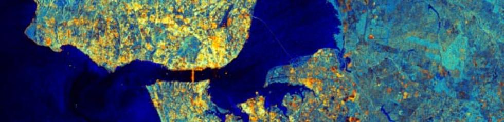
MOOC Introduction to Radar Remote Sensing
The course will start on September 16th 2019. Enroll now.
The course will start on September 16th 2019. Enroll now.
Meet with our SEC facilitators as well as Data Terra and ForM@ter facilitators at the Living Planet Symposium.
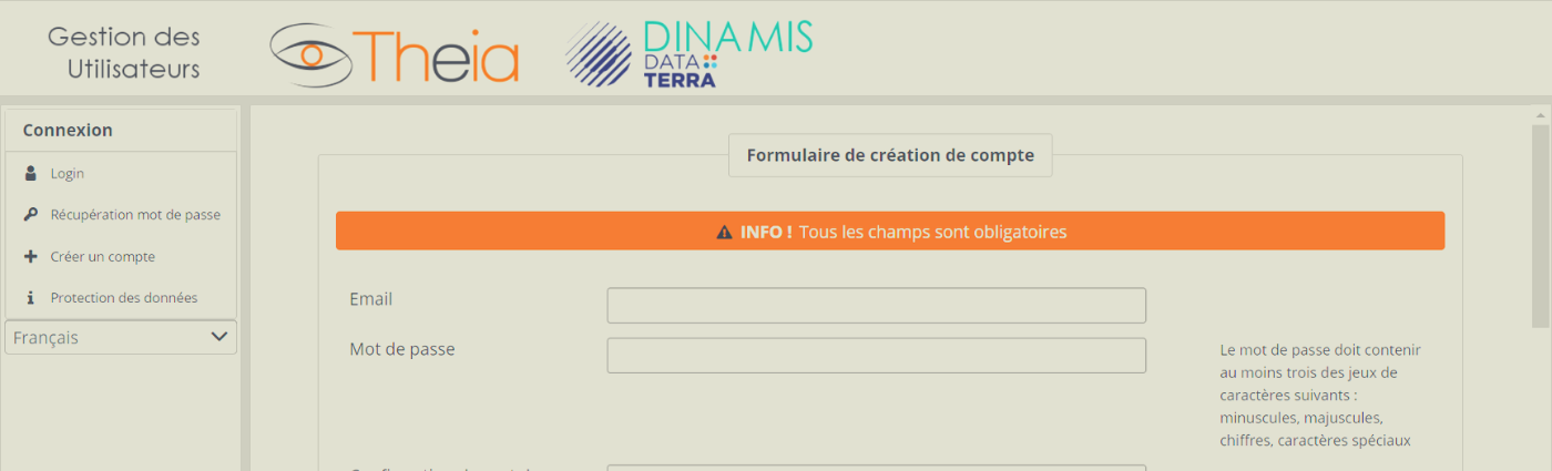
5 steps to create a Theia account
Theia’s Governance lays upon three bodies: An Executive Bureau The Executive Bureau counts fifteen members and is in charge of Theia’s daily management. In October 2023 A Steering Committee Made of […]
POSTEL was a demonstrator of thematic Land Data Centre from 2001 to 2008. The idea was to associate R&D and services to describe the soil and vegetation from Earth Observation […]
The PEPS Sentinel products exploitation platform is designed to offer innovative services for accessing Sentinel mission data under the European Copernicus programme to institutional users, scientists and industry. By redistributing […]
Equipex Geosud project was selected as part of the call for proposals “Equipment of Excellence” in the Programme d’Investissements d’Avenir (large national bond issued in 2011). The project gathers 14 […]

Series of books “QGIS in remote sensing”aims to facilitate the appropriation and operational use of the Quantum Geographic Information System (QGIS) software in the field of remote sensing. This series […]

Series of books on remote sensing applied to continental surfaces are available in english and french version from ISTE-Elsevier editions. This series is designed for those who wish to discover […]