OSS-NC 21: Connecting Regional Geomatics Communities in Pacific
Learn more on the coming New Caledonian event and its relevance for the Remote-Sensing Pacific Community at large
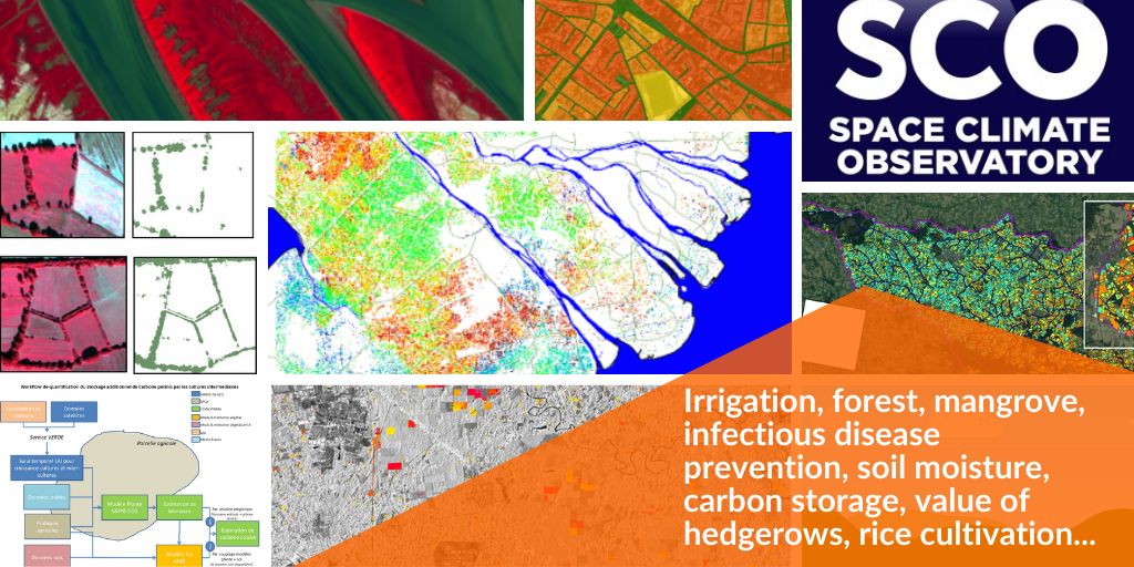
The P2S2 project (Products for SENTINEL-2) consists in developing and validating a processing chain to characterize crops from images acquired by the SENTINEL-2, LANDSAT-8 and Venµs satellites. The computed variables are: the leaf area index (LAI), the soil cover fraction or the fraction of photosynthetically active radiation absorbed by the vegetation (fAPAR). A first version of the prototype has been validated and the satellite image processing chains are now put into production by the THEIA continental surface data and services cluster to provide continuous images over France. Your mission will be twofold: validate THEIA products and prototype the next version of the biophysical variables estimation algorithm.
Learn more on the coming New Caledonian event and its relevance for the Remote-Sensing Pacific Community at large
You will be hosted in the CAPTE (CAPTeurs et TElédetection) Joint Technology Unit of UMR EMMAH, at the INRAE PACA center in Avignon. You will work in close collaboration with researchers and engineers of the UMT, as well as with its CNES contacts.
This 9 month CDD can be extended for two years with CNES funding for the DECADAY project (DECAmetric resolution for DAYly Observations) which aims to provide daily time series of biophysical variables from SENTINEL-2 & LANDSAT-8 optical data using SENTINEL-1 to improve gap filling in case of cloud cover (funding accepted).
For more information on the P2S2 project:
Weiss, M., et al (2019). The P2S2 Project: a validation database for SENTINEL-2 GAI and Chlorophyll products for crops In E.S. Agency (Ed.), Living Planet Symposium 2019. Milan, Italy
Weiss, M., et al (2019). The p2s2 validation database for decametric resolution crop products: green area index, fraction of intercepted light, green fraction and chlorophyll content. In, IEEE International Geoscience and Remote Sensing Symposium (IGARSS 2019) (pp. 4588-4591). Yokohama, Japan
Master’s degree/Engineering degree