Two THEIA LiDAR tools for forest monitoring

On this International Day of Forests, for which innovation has a major role to play in 2024, we are highlighting two tools dedicated to the management of aerial LiDAR data for forest characterization.
Both were developed by INRAE’s LESSEM laboratory and are now available on THEIA as part of the Vegetation, Soils & Agrosystems SEC.
Two complementary tools
LiDAR HD is an R package that lets you download and manage files from the national LiDAR HD coverage distributed by IGN.
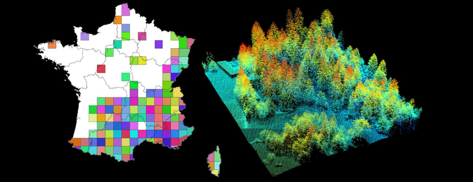
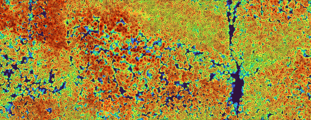
On this basis, the R package lidaRtRee enables forest structure to be analyzed and mapped using object or pixel approaches. Tutorials are provided, for example, to implement tree and gap detection functions, or to model forest variables (dominant height, growing stock, etc.) by comparison with field measurements.
These tools have been developed and implemented as part of research or applied projects on forest management and the conservation of forest ecosystems.
As part of the PROTEST project (ADEME funding 2018-2021), a map of the forests in the Parc Naturel Régional du Massif des Bauges was produced and made available to forestry stakeholders. The cartography also served as the initial state for simulations of forest evolution integrated into a territorial foresight approach. This innovative method of territorial diagnosis served as a basis for the forestry guidelines of the new NRP charter.
lidaRtRee is used in projects aimed at mapping the habitat of species at conservation risk. INRAE and the Groupe Tétras Jura have been collaborating since 2015 on the use of LiDAR data for habitat mapping of Capercaillie and Hazel Grouse in the Jura massif. INRAE is also working with the Office Français de la Biodiversité to map black grouse habitat in the Alps.
INRAE has been working for several years on the mapping of biologically mature forests using LiDAR data, as part of projects with Parcs Naturels Régionaux, the French Ministry of the Environment and the Office National des Forêts.
In the field of risk management, these tools have been used to map the protective role of forests against certain natural hazards (boulder falls, avalanches), and to estimate the risk of ice jams during floods.
Contact

Jean-Matthieu Monnet
INRAE | LESSEM
@jean-matthieu.monnet
HAL