Publications
THEIA Vegetation, Soils & Agrosystems Scientific Expertise Centre (SEC) brings together a network of laboratories working on the monitoring of vegetation, soils and the functioning of agrosystems, on a national and international scale.
The aim is to develop and propose innovative methods to offer products and services tailored to the issues and needs of scientific users and land managers.

Softwares & Tools
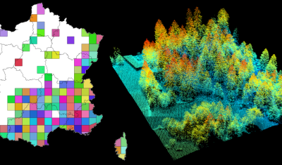
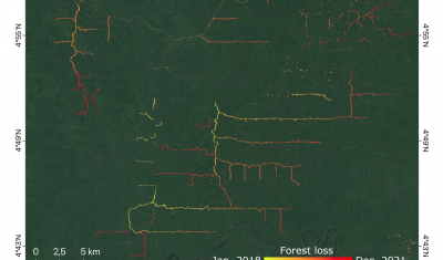
lidaRtRee is an R package that provides functions for forest analysis using airborne laser scanning (LiDAR remote sensing) data:
Publications
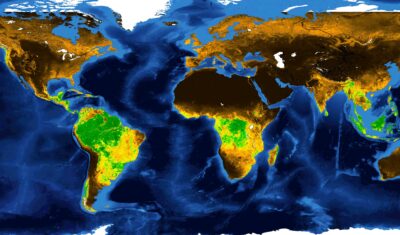
The GEOV2-AVHRR product has been updated for the year 2021. This means that 40 years of global vegetation data are now available.
Products
Products
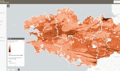
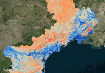
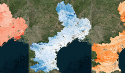
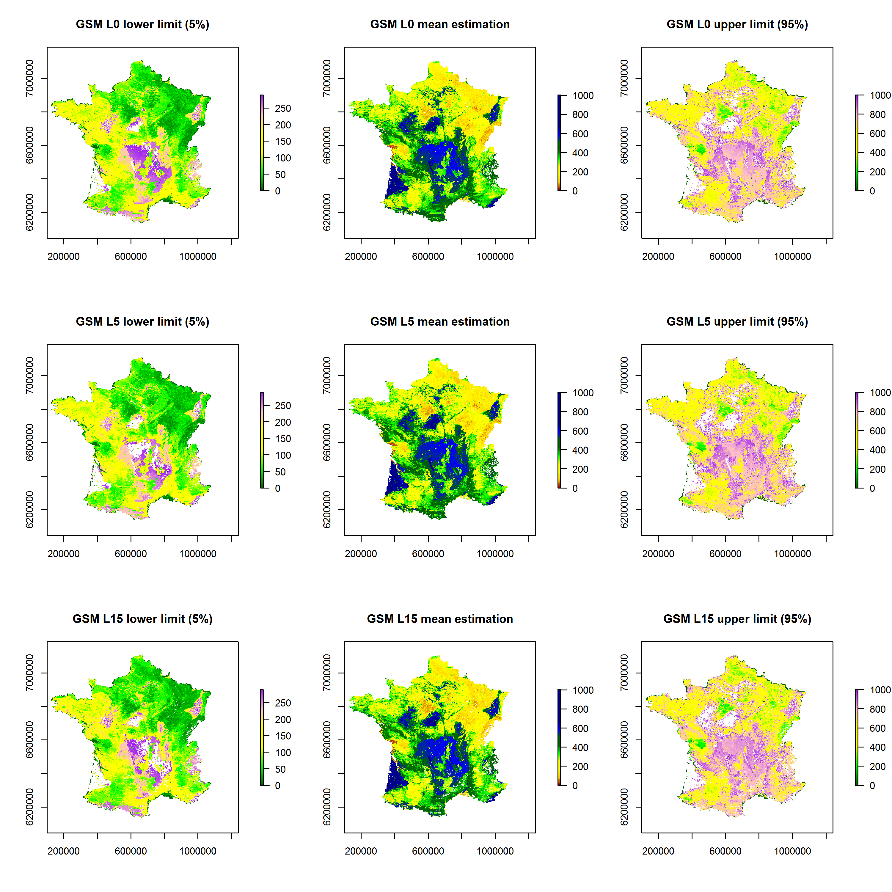
A Water Capacity calculated from a pedo-transfer function applied to soil characteristics estimated by digital mapping techniques.