Digital Soil Mapping: educational resources and property maps
Theia Digital Soil Mapping Scientific Expertise Center main action is pursuing methodological work in collaboration with its members to evaluate existing products and improve future Products. Nevertheless, at the beginning of 2022, various recent achievements are available to users.
Partnering for the dissemination of soil property maps
Two types of map products are available or in the process of being made available at national and/or regional scales:
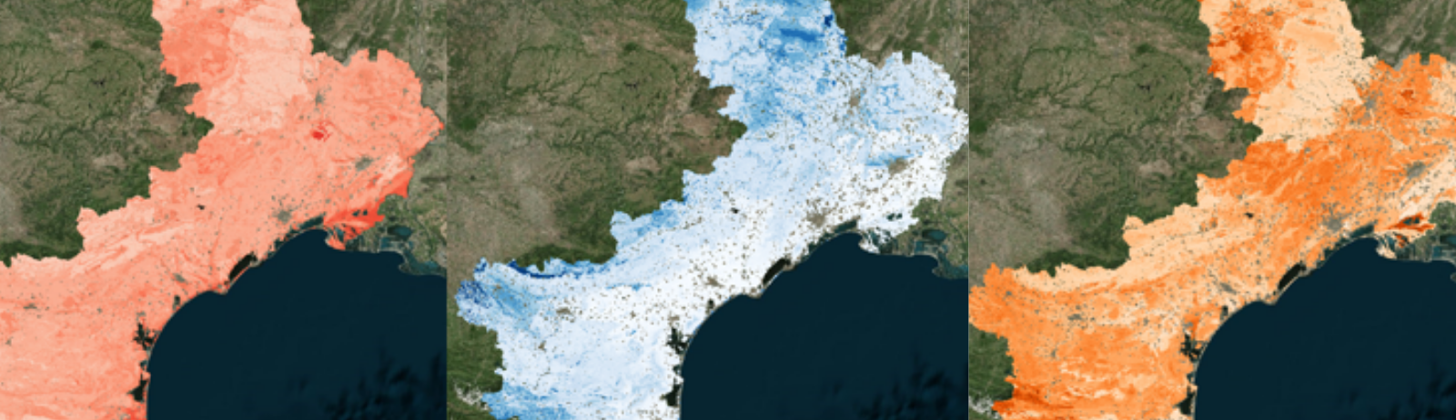
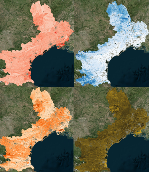
- Soil property maps following the specifications of the GlobalSoilMap project. This product is already distributed for the former Languedoc Roussillon region by the Theia regional facilitator for Occitanie, OPenIG.
GlobalSoilMap maps at the national scale have also been produced and are being disseminated by the INRAE Infosol Unit. Other regional GlobalSoilMap products are expected in the near future. - Soil Available Water Capacity Map. This functional property of the soil, crucial for many decisions, has benefited from a specific effort at both national and regional scales.
On the national scale, a map is distributed by the Infosol unit. At the scale of the former Languedoc Roussillon region, a map of the soil’s useful reservoir (and associated uncertainty) is distributed by OPenIG.
Educational resources
In addition to producing data, Theia Digital Soil Mapping SEC has also set upon itself the objective of disseminating the methods and tools used to produce soil property maps.
This is currently done through a website philippelagacherie.wixsite.com/cartograph-e, which objective is to provide users with the fundamental knowledge of Soil Mapping by Statistical Modelling and to provide the main information concerning the use of hereby products such as soil property maps.
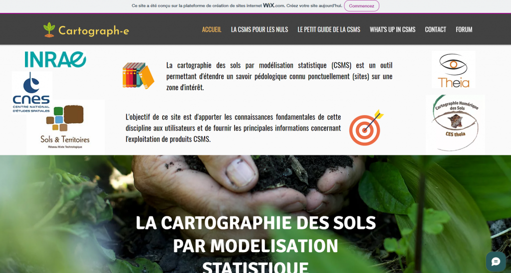
philippelagacherie.wixsite.com/cartograph-e
From the beginning of 2022, Anne Richer de Forges (Infosol Orléans) will take over from Philippe Lagacherie for the facilitation of Theia Digital Soil Mapping SEC.
Philippe Lagacherie,
INRAE, UMR LISAH
& Tom Brunelle,
OPenIG
Digital Soil Mapping SEC
Soil properties maps
(requires an OPenIG account)
Soil Available Water Capacity Map