Two THEIA LiDAR tools for forest monitoring
On this International Day of Forests, for which innovation has a major role to play in 2024, we are highlighting two tools dedicated to the management of aerial LiDAR data […]
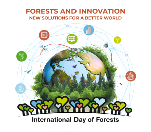
On this International Day of Forests, for which innovation has a major role to play in 2024, we are highlighting two tools dedicated to the management of aerial LiDAR data […]
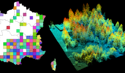
Tool access The R package lidarHD is available at https://forgemia.inra.fr/lidar/lidarHD. A tutorial is available at: https://lidar.pages.mia.inra.fr/lidarHD/articles/lidarHD.html Presentation lidarHD contains tools for downloading and managing files from the French LiDAR HD […]

lidaRtRee is an R package that provides functions for forest analysis using airborne laser scanning (LiDAR remote sensing) data:

According to your needs, your profile and the data sought nature, THEIA offers you a set of catalogues of products, data, services and tools. catalogue.theia-land.fr | Searching and downloading of THEIA […]
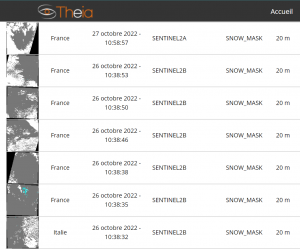
We are happy to announce that Theia Sentinel-using products are back into production.
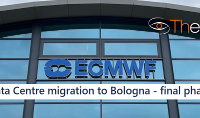
The processing of some Theia products is suspended during the migration of the ECMWF data centre.
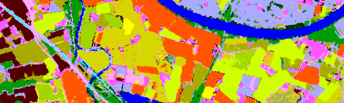
Tool Access Presentation Iota2 – Infrastructure for Land Use by Automatic Processing Incorporating Orfeo Toolbox Applications is the name of the renowned land use map production chain developed at CESBIO […]
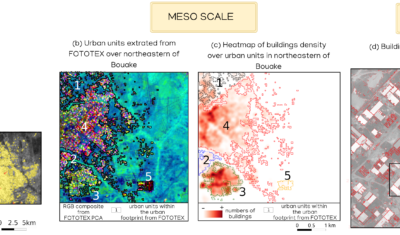
FOTOTEX, developed within Theia Risks Associated with Infectious Disease Risks and Urban SECs, proposes a unique, rapid and unsupervised method for characterising urban areas at three overlapping scales.
Software able simulate the population dynamics of Aedes albopictus and Aedes aegypti.