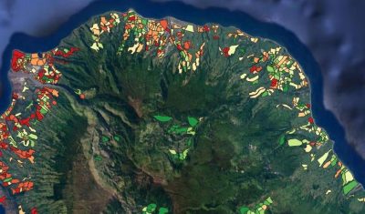
ALBORUN | Model of Aedes albopictus mosquito population dynamics, Reunion Island
Software enabling to simulate the population dynamics for tiger mosquito, Aedes albopictus, Reunion Island
Software enabling to simulate the population dynamics for tiger mosquito, Aedes albopictus, Reunion Island
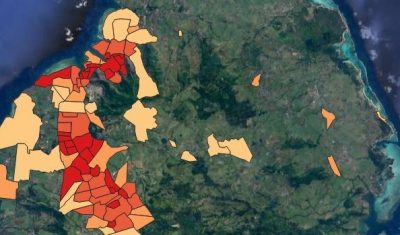
Software to simulate the population dynamics of the tiger mosquito, Aedes albopictus, in Mauritius.
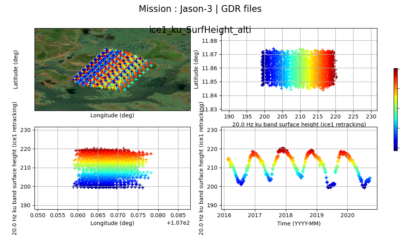
The AlTiS software allows the visualisation of altimeter data and the creation of water level time series on rivers, lakes and flooded areas.
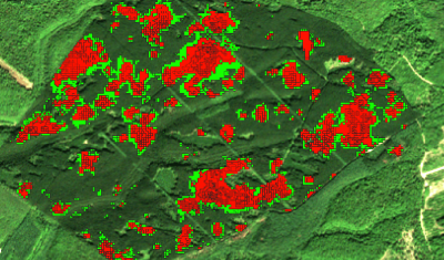
Access Presentation The fordead package, developed by the Changes and Health of Temperate Forests SEC for the detection of vegetation anomalies from SENTINEL-2 time series, provides monitoring tools to address the bark […]
Theia SECs offer some download tools especially designed for Theia Data infrastructures. Don’t miss them.
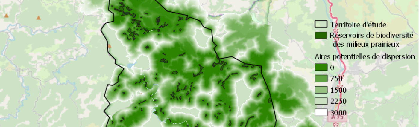
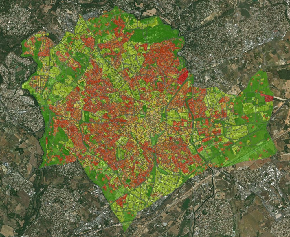
QGis PlugIn for computing ecological continuities
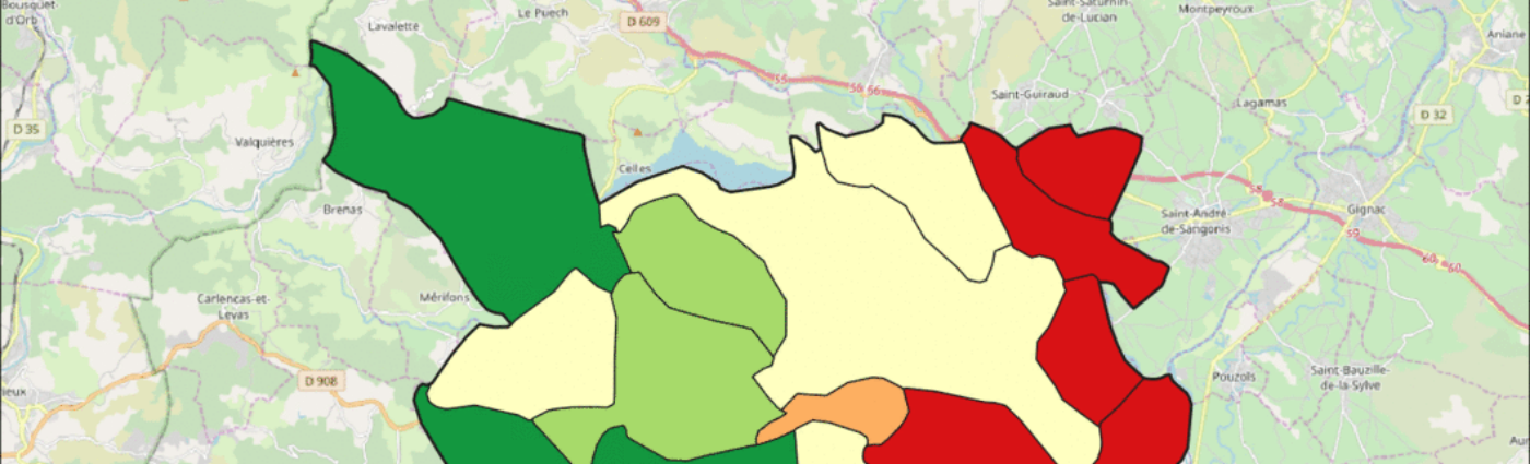
QGIS PlugIn to compute mesh effective size and thus quantify landscape fragmentation.
Tool access All codes, installation instructions and a biodivMapR tutorial are available on a dedicated web page:jbferet.github.io/biodivMapR/index.html Presentation biodivMapR is a package developed in R language to produce biodiversity indicator […]