| ALBOMAURICE |a model of Aedes albopictus mosquito population dynamics, developed for Mauritius | Mauritius | CC BY-NC 4.0 | DataVerse |
| ALBORUN | a model of Aedes albopictus mosquito population dynamics, developed for Reunion Island | Reunion Island | CC BY-NC 4.0 | DataVerse |
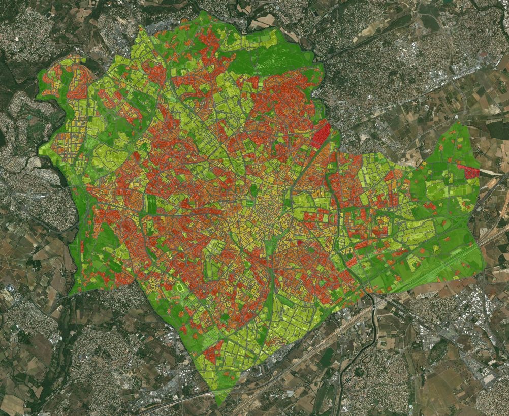
| ARBOCARTO | Mapping tool to predict the population density of Aedes vectors |
_
| CC BY-NC 4.0 | DataVerse |
| NLHI -Normalized Landscape Hazard index | Python Code, a tool for mapping the influence of the landscape on the probability of human/vector interaction |
| CC BY-NC 4.0 | Framagit |
| Geocoding python code for disease cases (e.g. dengue in Brazil) based on OSM |
| CC BY-NC 4.0 | Forthcoming |