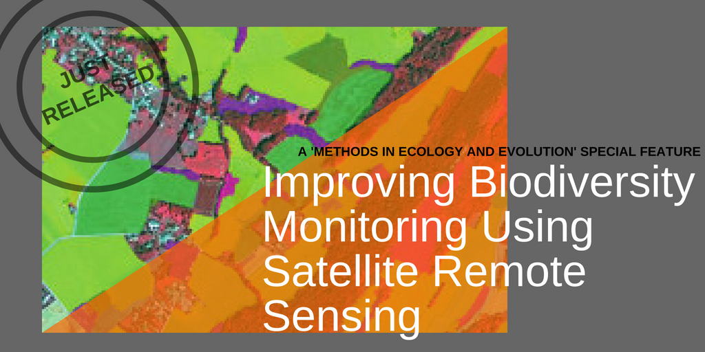
Improving Biodiversity Monitoring Using Satellite Remote Sensing
‘Improving Biodiversity Monitoring using Satellite Remote Sensing‘, by Sandra Luque, Nathalie Pettorelli, Petteri Vihervaara and Martin Wegmann, in the last issue of Methods in Ecology and Evolution, explains why tackling this challenge is worth doing.
The articles (on free access for 3 months) written by several TETIS scholars demonstrate how combining satellite remote sensing data with ground observations and adequate modelling can help to give us a better understanding of natural systems, leading to improved management practices. They focus on three key conservation challenges:
- Monitoring of biodiversity
- Developing an improved understanding of biodiversity patterns
- Assessing biodiversity’s vulnerability to climate change
More information: BiodiversityLandscape SEC