Organizing the scientific community to face the technical challenge of exploiting data and disseminating its own research results.
You are a specialist in geospatial image processing.
How are you involved in Theia?
Rémi CRESSON: I am a research engineer at UMR Tetis (Irstea, soon to be Inrae) and a specialist in image processing. I am interested in approaches that extract information from geospatial images (particularly optical and radar imagery). I also monitor scientific and technological developments and provide technical support to the researchers in my laboratory.
I am also involved in open-source projects (such as the Orfeo ToolBox and Zoo-Project projects), an orientation that seems to me to be essential as an engineer in a public research organization. These projects constitute a valuable and indispensable technological platform for scientists and academics.
I typically work on high performance computing, large scale geospatial data analysis and machine learning. The data I use most of the time come from Spot 6/7, Sentinel-1 and Sentinel-2, but I have to use also all kinds of public auxiliary data.
I already contribute to various Theia Scientific Expertise Centres (SECs) – Soil Moisture with Very High Spatial Resolution SEC as well as Urban SEC, in particular. I hope to contribute to other SECs in the near future.
What motivates you to get involved in a network like Theia?
Rémi CRESSON : My raw material is essentially made up of satellite images! Today, all the images I am working on are provided by the Theia consortium: Spot 6/7 data are available free of charge for public actors via Geosud; Sentinel-2 reflectance data provided by the Cesbio and CNES teams have become a reliable reference data that can be mobilized by people who in the past would never have done so for lack of expertise or resources.
In addition, Theia SECs offer a tremendous opportunity for scientists. They bring together experts according to thematic research, encourage them to work together, but also increase the visibility of their work. Theia attaches great importance to the valorization of research work, and we see solid products emanating from SECs. In the field of remote-sensing. I think that this is the first time an organization succeeds at such valorization on a national scale in France.
What are the future challenges for research and for Theia today?
Rémi CRESSON: Today, we are facing a technological revolution. On one hand, there is an increasing amount of geospatial data: continuous flow and publicly available satellite images (e. g. Sentinel-1 and Sentinel-2); open in situ data; crowdsourcing data, etc. At the same time, we are seeing the emergence of new techniques and architectures (for computing, storage, etc.) to exploit all this mass of information.The challenge for research is to adapt to this paradigm shift.
The organization of resources seems to me to be a central point that only an entity like Theia, with its national scale, can make effective. If the scientific community advances in a dispersed order, I think it will sooner or later have difficulties facing the technical challenge of exploiting data and disseminating its own research results.

Rémi Cresson
INRAE | Tetis
@R.Cresson
Contributions
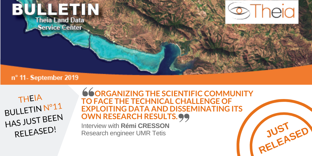
Read the New Theia Bulletin
>>> Read on-line on Calaméo