Monitoring Lake and River’s Water Level: Sentinel-6A’s turn

Sentinel-6A is set on the same orbit as Jason-3 in order to ensure the continuity of altimetric time series.

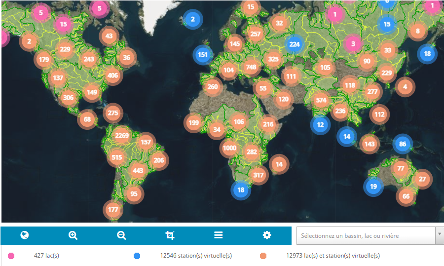
In order to ensure the continuity of Theia Water Levels of Lakes and Rivers (Hydroweb) products, Jason-3 mission data will be replaced by the data from the Sentinel-6A mission of the Copernicus programme from 7 April 2022.

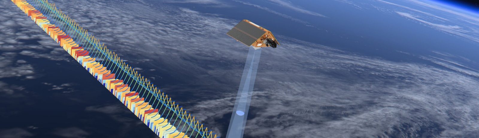
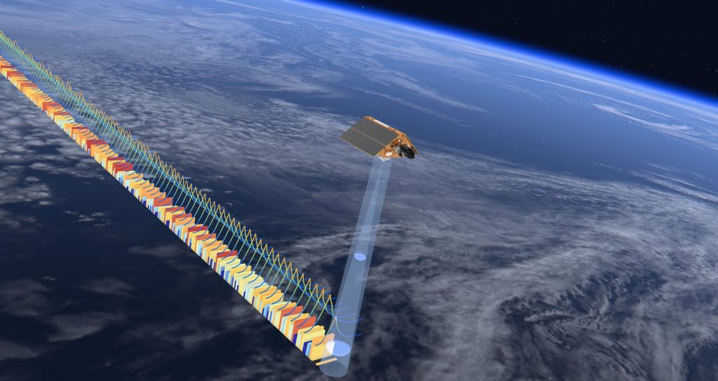
The Sentinel-6A mission, launched in November 2020, is intended to be the new reference mission for altimetry and monitoring of water surfaces. Placed in the same orbit as Jason-3, it will provide continuity of time series on the sites processed by Hydroweb. Jason-3 will be moved to another orbit and will not be used again in a few months.

Lakes and rivers monitored by Hydroweb in April 2022.

More news

Two THEIA LiDAR tools for forest monitoring

On this International Day of Forests, for which innovation has a major role to play in 2024, we are highlighting two tools dedicated to the management of aerial LiDAR data […]

SWOT data that exceeds expectations

The SWOT space mission was launched at the end of 2022 by CNES and NASA to document the water masses of the entire planet – oceans and continental waters. Data […]

Albédo Sentinel 2 THEIA pur l'Île-de-France, juin 2022

Measuring the albedo of mainland France from Sentinel-2

THEIA’s Albedo team has developed a method for calculating high-resolution (HR) albedo using Sentinel-2 data. The method has already been used as part of the Copernicus Global Land Service program, […]

Search