SWOT data that exceeds expectations
The SWOT space mission was launched at the end of 2022 by CNES and NASA to document the water masses of the entire planet – oceans and continental waters. Data […]

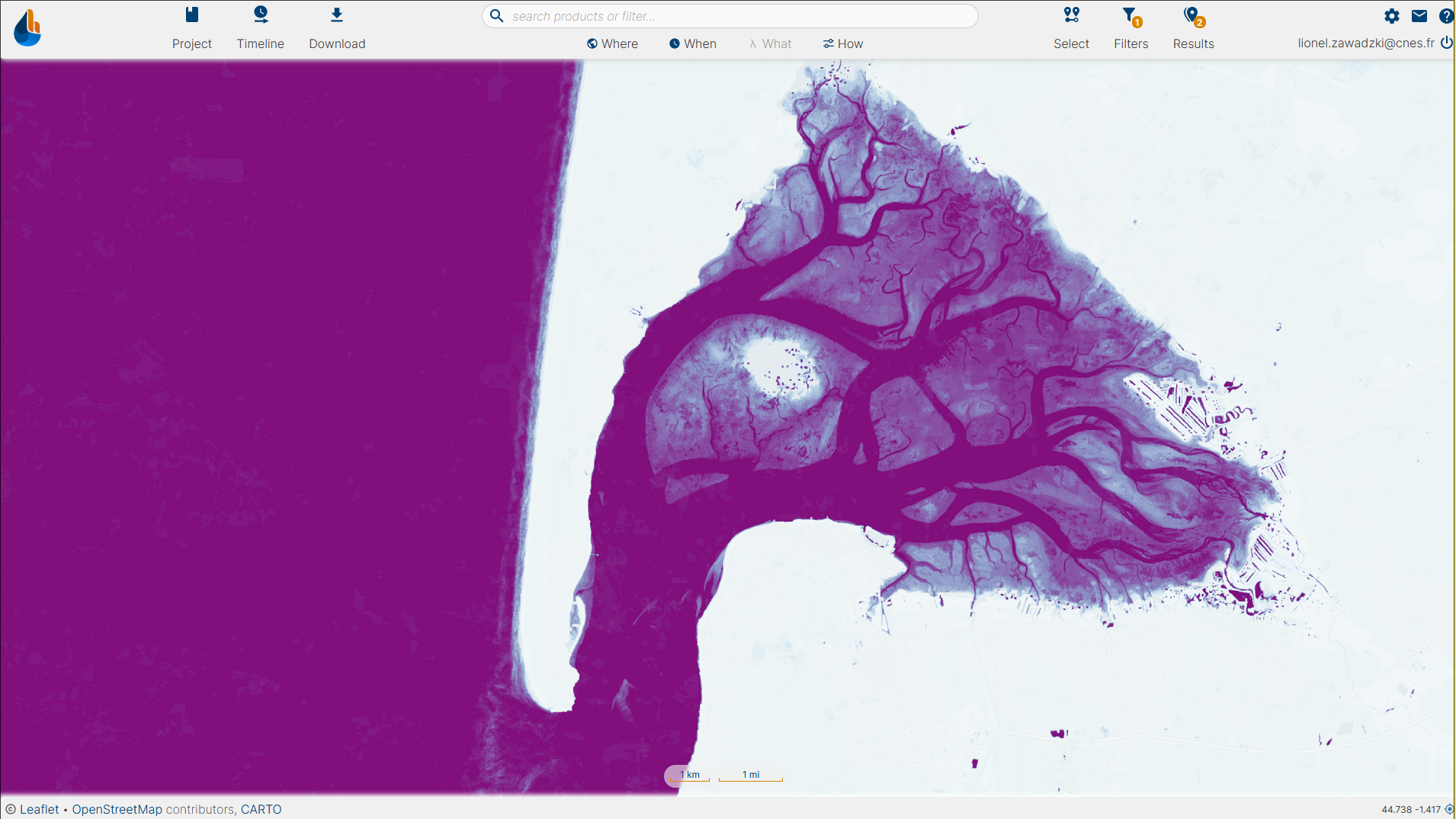
At the end of 2023, the Surfwater product based on Sentinel-2 optical images will be available on the hydroweb.next.theia-land.fr portal for mainland France.
Surfwater is a water surface product that indicates the presence or absence of open water on continental surfaces at 10m spatial resolution. For Sentinel-2, new maps are produced every five days, based on level 2A images produced by Theia and in the absence of clouds.
Monthly and annual summaries are also available for seasonal and climate studies.

Over the course of 2024, other geographical zones will gradually be made available on the run (Europe, West Africa, etc.). Towards the end of 2024, the Surfwater product based on Sentinel-1 radar images will also be available, with a 6-day revisit. Radar adds the possibility of nighttime acquisition and acquisition in the presence of clouds, unlike optical imagery. The geographical areas covered will initially be the same as those covered by the optical version, with an extension of the Surfwater radar production zones to areas where optical data is not available (Amazonia, Congo, etc.).
© Copyright Theia 2020 - SEDOO (Data service OMP)