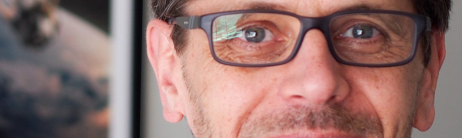
“What motivates my interest in THEIA, but also in the very idea of data consortia, are the ever-changing activities and the associated challenges.”
CNES-Partner Interoperability Manager for DINAMIS, Theia & ForM@Ter
Technical Director of the Theia consortium
Who are you, and what is your role in the THEIA consortium? How and why did you get involved in THEIA?
Arnaud Sellé: The THEIA Continental Surfaces consortium was created 10 years ago out of a desire to pool means and expertise, on the initiative of French public research bodies, with the aim of promoting scientific research by networking researchers, facilitating the use of remote sensing data from space and responding to the societal expectations of public players. Since its creation, the consortium has demonstrated its usefulness thanks to the large number of themes covered by its Scientific Expertise Centres and the diversity of products made available in Open Data.
CNES is one of the consortium’s major partners. During my activity as project manager from 2016 to 2021, and then as technical director, I was able to participate in implementing a significant expansion of the product portfolio and coordinate activities between CNES and its partners. One of the biggest successes, from my point of view, is the adoption by the European Environment Agency of THEIA’s Snow Cover product. The fact that the Let It Snow (LIS) algorithm has proven its robustness through its operational implementation in the pole has been a key factor for this success.
In your opinion, what are the main challenges for THEIA in the future?
Arnaud Sellé: What motivates my interest in THEIA, but also in the very idea of data consortia, are the ever-changing activities and the associated challenges. The setting-up of new infrastructures, supported by funding obtained at the Data Terra level, through the GAIA Data project (>Read p.3) will make it possible to add new collections to the THEIA portfolio, in particular those based on RADAR Sentinel-1 products, and also to increase the geographical coverage of the consortium.
Similarly, the arrival of Anne Puissant as the consortium’s Scientific Director (>Read her interview in Bulletin n°12) and the upcoming appointment of a deputy director, which follows that of a new CNES project manager (>Read Bulletin n°15), will certainly provide an opportunity to take up new challenges, such as the integration of data from new source space missions (SWOT, Trishna, CO3D, Biomass, etc.) or pooling with other consortia within Data Terra the framework. THEIA must consolidate its national and regional reputation and interface better with the economic players in the downstream sector by clarifying its relations with them. In particular, THEIA should not be considered as a competitor of private companies, but as a supplier of “Analysis Ready Data” in the framework of a public service mission.
Finally, the data hubs in the frame of the Data Terra research infrastructure should be the right framework to undertake an effort to Europeanise the consortium’s activities: in particular, by seeking to integrate or complete the structuring projects of the European Union and the European Space Agency (ESA) in order
to meet the challenges of the European data strategy.