Products
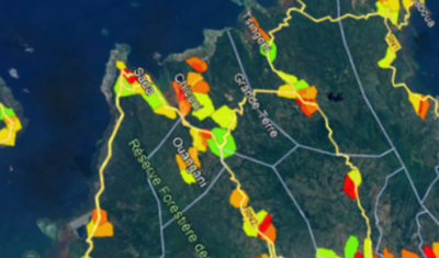
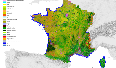
Identifying and mapping environmental factors favourable to the emergence, spread and persistence of diseases.

Data Terra
Annelise TRAN, CIRAD researcher and THEIA Risks associated with Infectious Diseases SEC, shares her vision of Theia consortium, its achievements as well as the challenges ahead.

Data Terra
Arnaud Sellé, CNES-Partner Interoperability Manager for DINAMIS, Theia & ForM@Ter, gives us his vision of Theia contributions and challenges.
Agenda
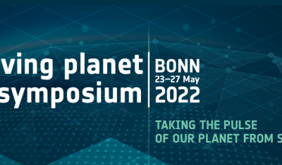
Go to Bonn with Theia’s Living Planet programme in your pocket!
Softwares & Tools
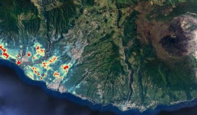
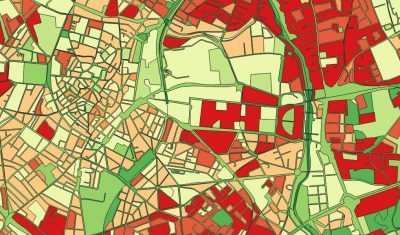
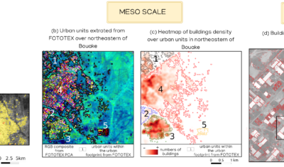
FOTOTEX, developed within Theia Risks Associated with Infectious Disease Risks and Urban SECs, proposes a unique, rapid and unsupervised method for characterising urban areas at three overlapping scales.
Publications
FOTOTEX, developed within Theia Risks Associated with Infectious Disease Risks and Urban SECs, proposes a unique, rapid and unsupervised method for characterising urban areas at three overlapping scales.