Products
Softwares & Tools
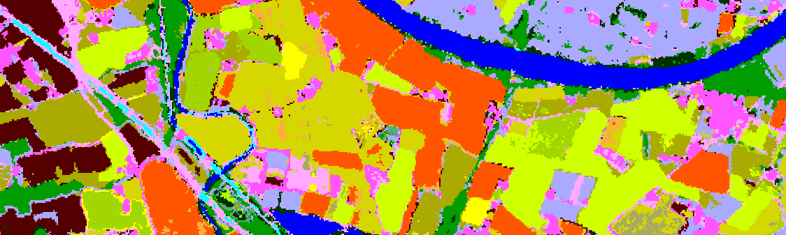
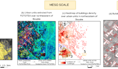
FOTOTEX, developed within Theia Risks Associated with Infectious Disease Risks and Urban SECs, proposes a unique, rapid and unsupervised method for characterising urban areas at three overlapping scales.
Products
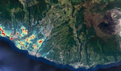
Mapping of the distribution of Xenopsylla flea vectors of murine typhus, Reunion Island.
Products
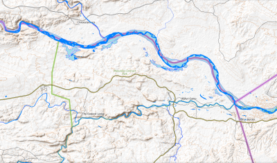
Geographic layers of monthly water surface changes for Hwangue, Gonarezhou and North Kruger National Parks in Zimbabwe, for modelling animal movements and predicting potential pathogen transmission.
Products
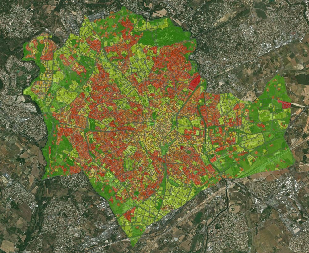
An automated soil mapping system for Reunion Island, based on the Moringa chain, using Spot6/7 or Pleiades images.
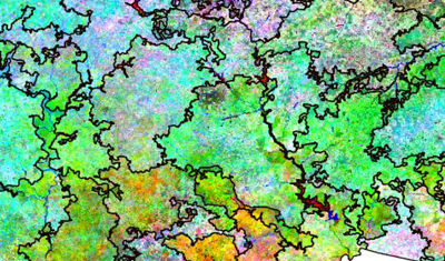
Products
Delimiting Landscape Units based on Earth Observation data in order to contribute to landscape-based land management.
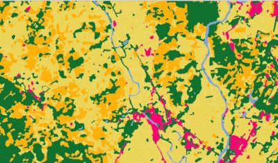
Products
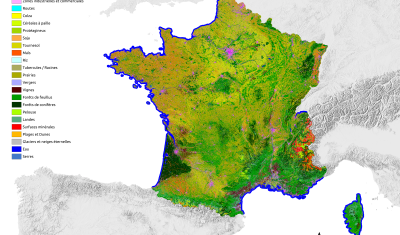
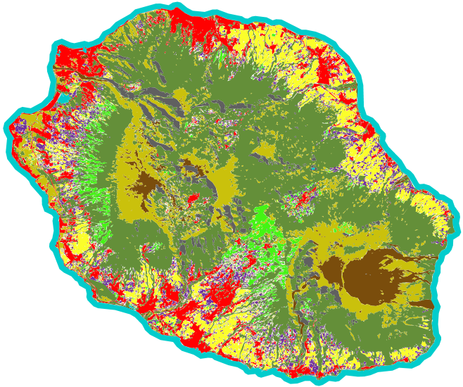
Land cover maps focusing on the relationship between health and the environment, intended to contribute to the dissemination of information on epidemiological risks related to infectious diseases to public health actors.